Cathedral of Saint Mary of the Assumption, San Francisco
Karte
Galerie
Fakten und Informationen
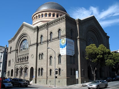
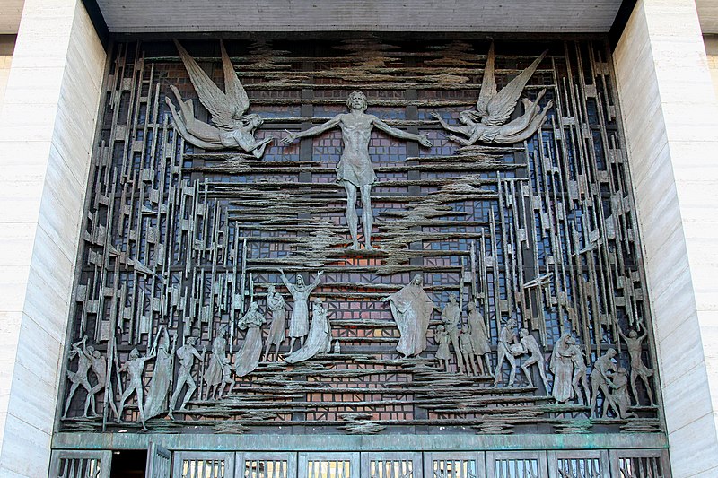
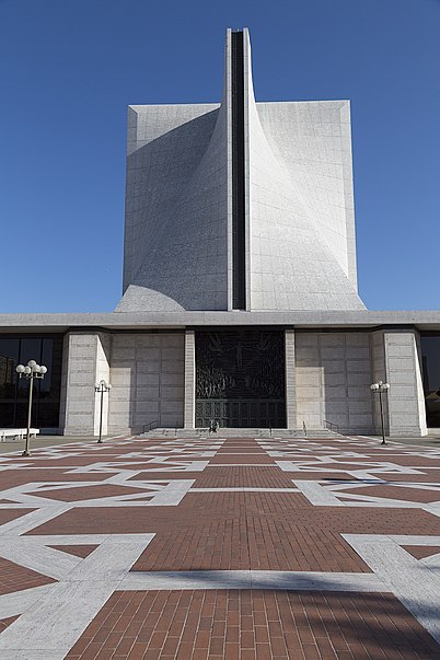
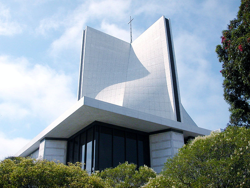
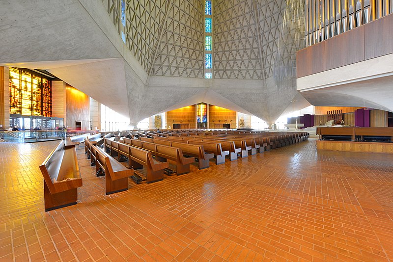
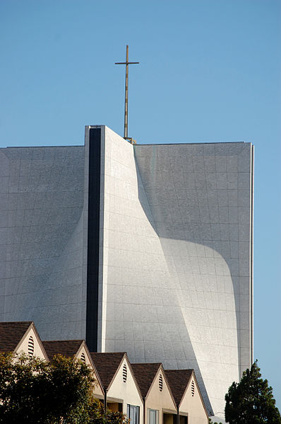
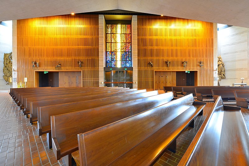
Die Cathedral of Saint Mary of the Assumption in San Francisco, Kalifornien, ist die Kathedrale des Erzbistums San Francisco, das die Countys Marin, San Francisco und San Mateo umfasst. Sie befindet sich auf dem Cathedral Hill. ()
Tagesausflüge
Cathedral of Saint Mary of the Assumption – beliebt in der gegend (entfernung vom objekt)
In der Nähe befinden sich unter anderem Attraktionen wie: Great American Music Hall, The Regency Ballroom, City Hall, The Fillmore.
Häufig gestellte Fragen (FAQ)
Welche beliebten Attraktionen gibt es in der Nähe?
Zu den nahe gelegenen Attraktionen gehören. St. Mark's Lutheran Church, San Francisco (3 Min. Fußweg), Fillmore, San Francisco (6 Min. Fußweg), National Japanese American Historical Society, San Francisco (7 Min. Fußweg), Japan Center, San Francisco (8 Min. Fußweg).
Wie kommt man mit öffentlichen Verkehrsmitteln dorthin?
Bahnhöfe und Haltestellen in der Umgebung von Cathedral of Saint Mary of the Assumption:
Busse
Trolleybusse
Straßenbahnen
Stadtbahn
Metro
Busse
- Starr King Way & Gough Street • Linien: 38 (3 Min. Fußweg)
- Geary Boulevard & Laguna Street • Linien: 38, 38R (5 Min. Fußweg)
Trolleybusse
- Fillmore Street & O'Farrell Street • Linien: 22 (11 Min. Fußweg)
Straßenbahnen
- California Street & Van Ness Avenue (13 Min. Fußweg)
- California Street & Polk Street (14 Min. Fußweg)
Stadtbahn
- Van Ness • Linien: K, N, S, T (18 Min. Fußweg)
- Civic Center • Linien: K, N, S, T (18 Min. Fußweg)
Metro
- Civic Center • Linien: Blue, Green, Red, Yellow (18 Min. Fußweg)
- Powell Street • Linien: Blue, Green, Red, Yellow (25 Min. Fußweg)



 Muni Metro
