Wallops Island
Karte
![Wallops Island location map](https://tzmedia.b-cdn.net/media/images/static-maps/us/37_8513_-75_4737.jpg)
Karte
![Wallops Island location map](https://tzmedia.b-cdn.net/media/images/static-maps/us/37_8513_-75_4737.jpg)
Fakten und Informationen
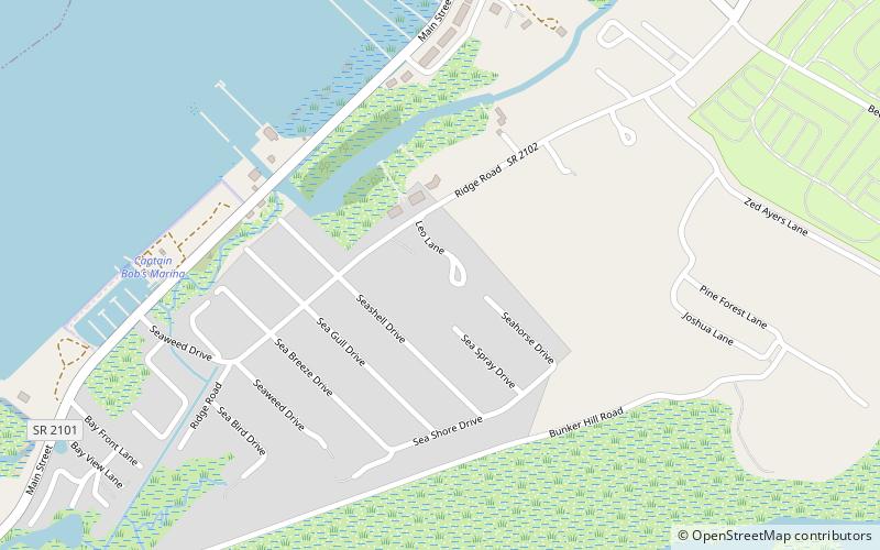
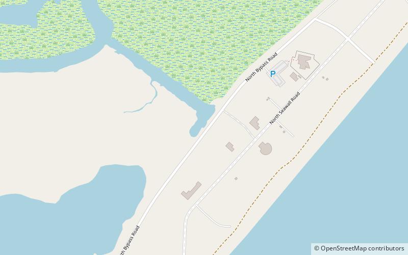
Wallops Island ist eine 15,5 km² große Insel im Atlantik vor der Küste des US-Bundesstaats Virginia. Sie ist Teil einer Inselkette, die sich an der Ostküste der Vereinigten Staaten erstreckt. ()
Lokalisierung
Virginia
KontaktHinzufügen
Soziale Medien
Hinzufügen
Tagesausflüge
Wallops Island – beliebt in der gegend (entfernung vom objekt)
In der Nähe befinden sich unter anderem Attraktionen wie: Beebe Ranch, Snug Harbor Marina, Mid-Atlantic Regional Spaceport.