St. Paul's Episcopal Church, Washington, D.C.
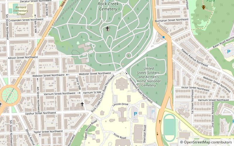
Karte
Galerie
Fakten und Informationen
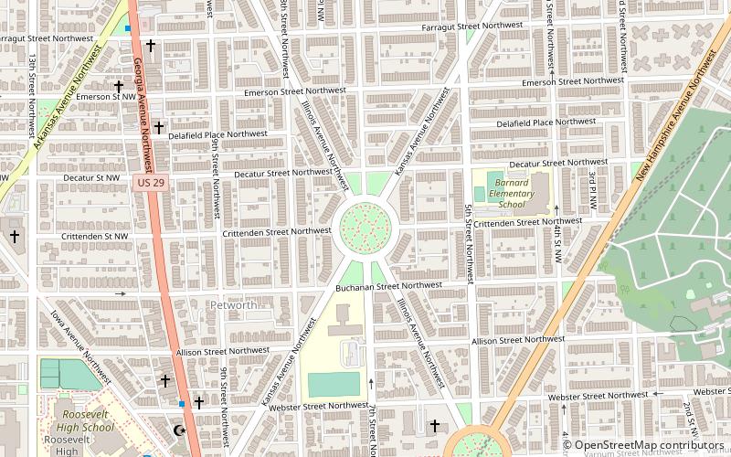
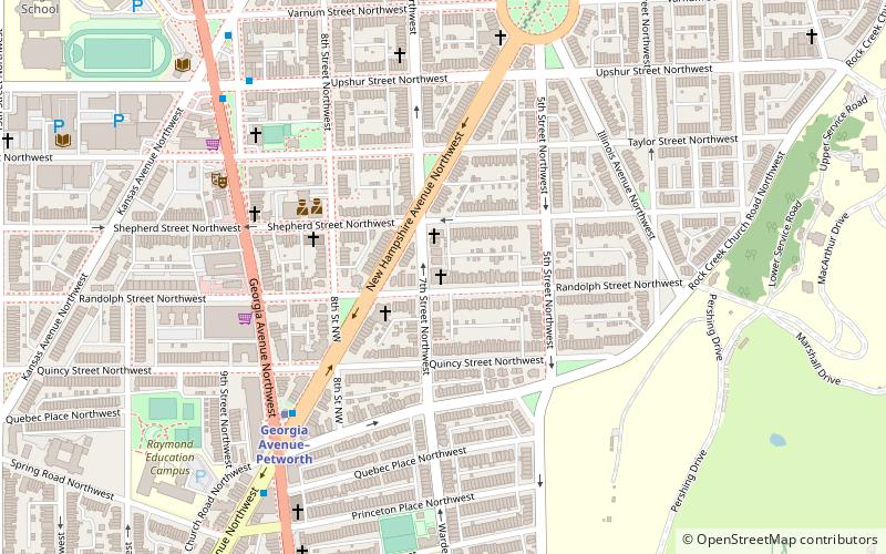
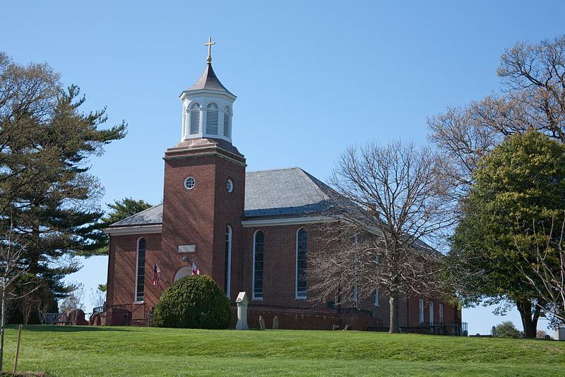
Die St. Paul's Episcopal Church, Rock Creek Parish, ist eine historische Episkopalkirche in der Rock Creek Church Road, NW, in Washington, D.C. Vereinigte Staaten.
Koordinaten: 38°56'40"N, 77°0'41"W
Adresse
Northwest Washington (Petworth)Washington, D.C.
KontaktHinzufügen
Soziale Medien
Hinzufügen
Tagesausflüge
St. Paul's Episcopal Church – beliebt in der gegend (entfernung vom objekt)
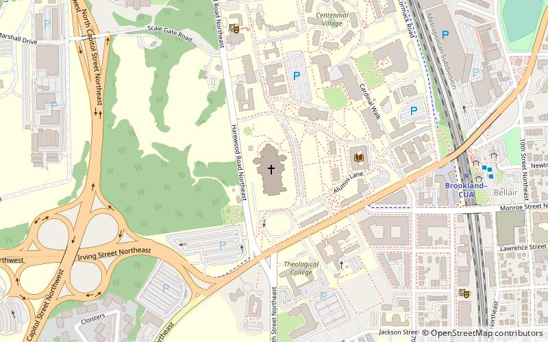
In der Nähe befinden sich unter anderem Attraktionen wie: Basilica of the National Shrine of the Immaculate Conception, Sherman Circle, Petworth Library, United States Soldiers' and Airmen's Home National Cemetery.
Häufig gestellte Fragen (FAQ)
Welche beliebten Attraktionen gibt es in der Nähe?
Zu den nahe gelegenen Attraktionen gehören. United States Soldiers' and Airmen's Home National Cemetery, Washington, D.C. (4 Min. Fußweg), President Lincoln and Soldiers’ Home National Monument, Washington, D.C. (5 Min. Fußweg), President Lincoln and Soldiers' Home National Monument, Washington, D.C. (5 Min. Fußweg), Rock Creek Cemetery, Washington, D.C. (6 Min. Fußweg).
Wie kommt man mit öffentlichen Verkehrsmitteln dorthin?
Bahnhöfe und Haltestellen in der Umgebung von St. Paul's Episcopal Church:
Metro
Busse
Metro
- Fort Totten • Linien: Gr, Rd, Yl (18 Min. Fußweg)
- Georgia Avenue–Petworth • Linien: Gr, Yl (22 Min. Fußweg)
Busse
- A • Linien: K6, K9 (18 Min. Fußweg)
- B • Linien: 64 (19 Min. Fußweg)


