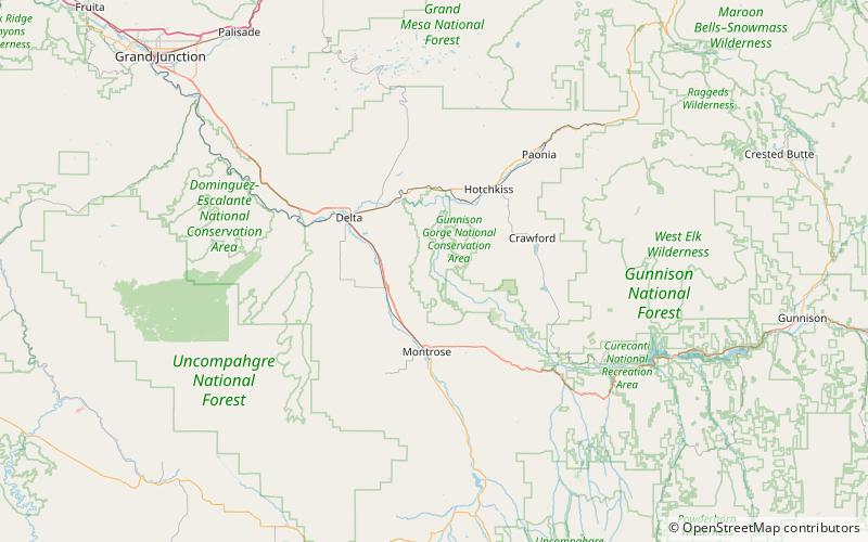
Gunnison Gorge National Conservation Area
Karte

Karte

Fakten und Informationen
Die Gunnison Gorge National Conservation Area ist eine 62.844 Hektar große National Conservation Area im westlichen Zentral-Colorado in der Nähe von Montrose. Es wird vom Bureau of Land Management als Teil des National Landscape Conservation System verwaltet. 57.725 Acres wurden im Black Canyon of the Gunnison National Park and Gunnison Gorge National Conservation Area Act von 1999 ausgewiesen. Mit dem Black Canyon of the Gunnison Boundary Revision Act von 2003 wurde das NCA auf seine heutige Größe erweitert.
Etabliert: 1999 (vor 27 Jahren)Höhe: 5892 ft ü. d. M.Koordinaten: 38°38'21"N, 107°51'32"W
