Caloosahatchee National Wildlife Refuge

Karte
Fakten und Informationen
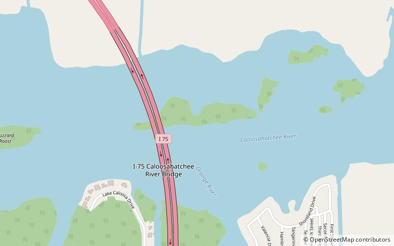
Das Caloosahatchee National Wildlife Refuge ist Teil des United States National Wildlife Refuge System und liegt am Caloosahatchee River unter der I-75 Caloosahatchee Bridge in der Stadt North Fort Myers. Das 40 Hektar große Schutzgebiet wurde am 1. Januar 1921 eingerichtet. Sie wird als Teil des J. N. "Ding" Darling National Wildlife Refuge Complex verwaltet.
Koordinaten: 26°41'54"N, 81°47'52"W
Tagesausflüge
Caloosahatchee National Wildlife Refuge – beliebt in der gegend (entfernung vom objekt)
In der Nähe befinden sich unter anderem Attraktionen wie: Edison and Ford Winter Estates, Murphy-Burroughs House, Caloosahatchee Bridge, Southwest Florida Museum of History.


