Trek Zone

American Discovery Trail, Arapaho National Forest

Nr. 6 unter den Attraktionen in Arapaho National Forest

Wandern, Wanderweg
American Discovery Trail location map
Karte

Fakten und Informationen
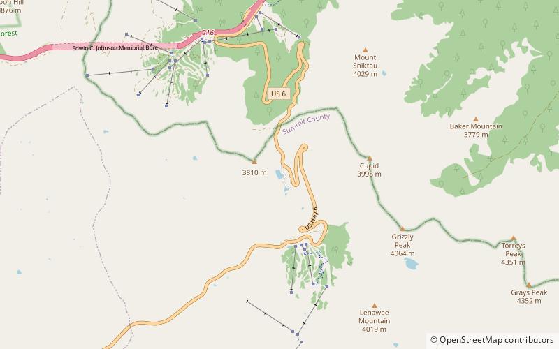
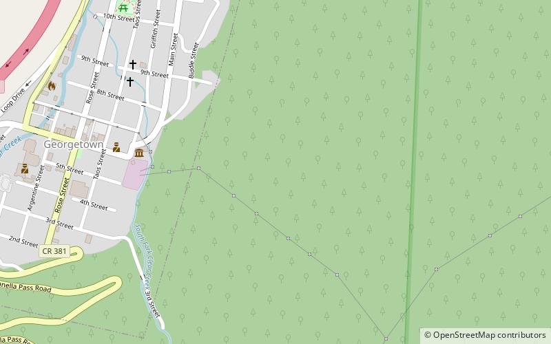
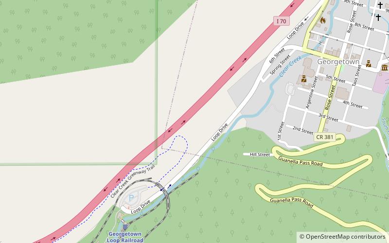
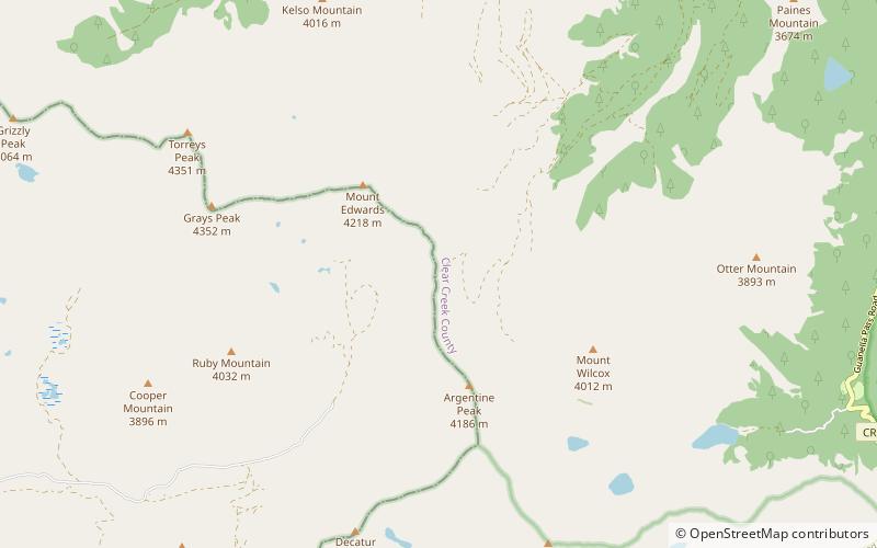
Andere Namen: Länge: 6799.98 miMaximale Höhe: 13207 ftMinimale Höhe: -17 ftJahreszeit: GanzjährigKoordinaten: 39°37'32"N, 105°46'55"W
Adresse

Arapaho National Forest Vereinigte Staaten

Kontakt
Soziale Medien
Hinzufügen
Tagesausflüge

American Discovery Trail – beliebt in der gegend (entfernung vom objekt)

In der Nähe befinden sich unter anderem Attraktionen wie: Grays Peak, Pass Lake, Torreys Peak, Grizzly Peak.

  • grays peak arapaho national forest2 miW
  • pass lake arapahoe basin location map
    5.5 miW
  • torreys peak arapaho national forest2.4 miNW
  • grizzly peak arapaho national forest3.8 miW
  • mount sniktau arapaho national forest5.4 miNW
  • grays peak trail arapaho national forest1.9 miNW
  • mount edwards arapaho national forest1 miNW
  • hotel de paris georgetown location map
    7.3 miNE
  • toll house georgetown location map
    6.8 miNE
  • loveland pass keystone5.8 miNW
  • grace episcopal church georgetown7.2 miNE

Wohin als nächstes? Gehen Sie auf die Seite der Region colorado Colorado oder sehen Sie sich alle Orte und Sehenswürdigkeiten in den Vereinigten Staaten an.