Trek Zone

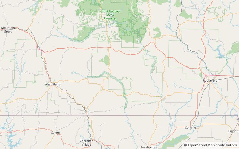
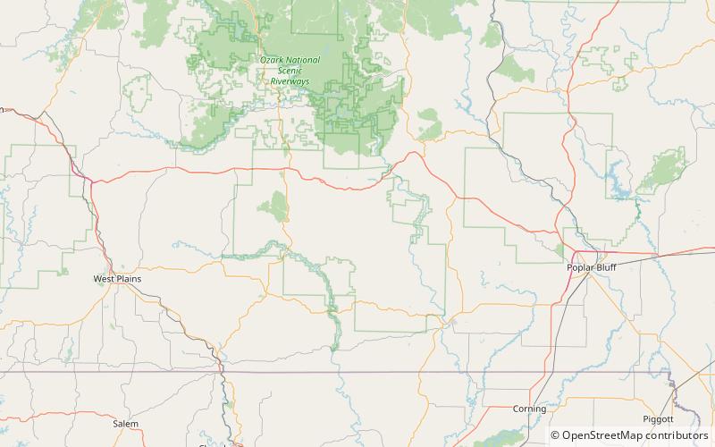
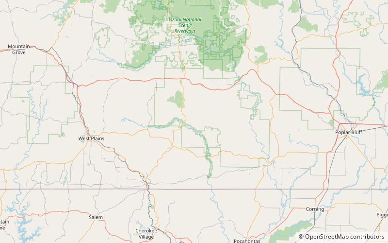
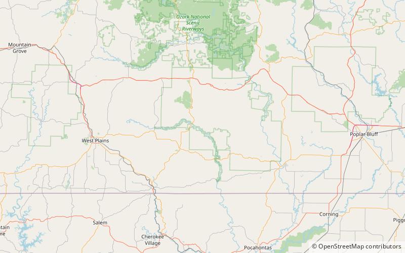
Sitton Valley, Mark Twain National Forest
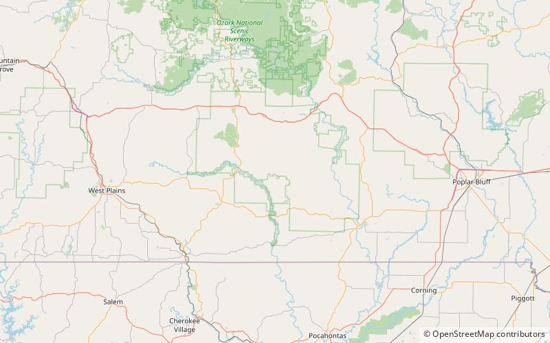
Nr. 45 unter den Attraktionen in Mark Twain National Forest

Natur, Natürliche Anziehungskraft, Tal
Sitton Valley location map
Karte

Fakten und Informationen

Sitton Valley ist ein Tal im Oregon County im US-Bundesstaat Missouri.

Sitton Valley trägt den Namen von Warren Sitton, einem Pionier.

Koordinaten: 36°47'20"N, 91°10'48"W
Adresse

Mark Twain National Forest Vereinigte Staaten

KontaktHinzufügen
Soziale Medien
Hinzufügen
Tagesausflüge

Sitton Valley – beliebt in der gegend (entfernung vom objekt)

In der Nähe befinden sich unter anderem Attraktionen wie: Irish Wilderness, Stinking Pond Hollow, Bearpen Hollow, Kelly Hollow.

  • irish wilderness mark twain national forest4 miS
  • stinking pond hollow mark twain national forest location map
    3.4 miW
  • bearpen hollow mark twain national forest location map
    6.2 miNE
  • kelly hollow mark twain national forest location map
    5.1 miW
  • fox hollow mark twain national forest location map
    5.1 miW

Wohin als nächstes? Gehen Sie auf die Seite der Region missouri Missouri oder sehen Sie sich alle Orte und Sehenswürdigkeiten in den Vereinigten Staaten an.