Trek Zone

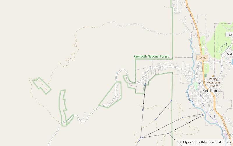
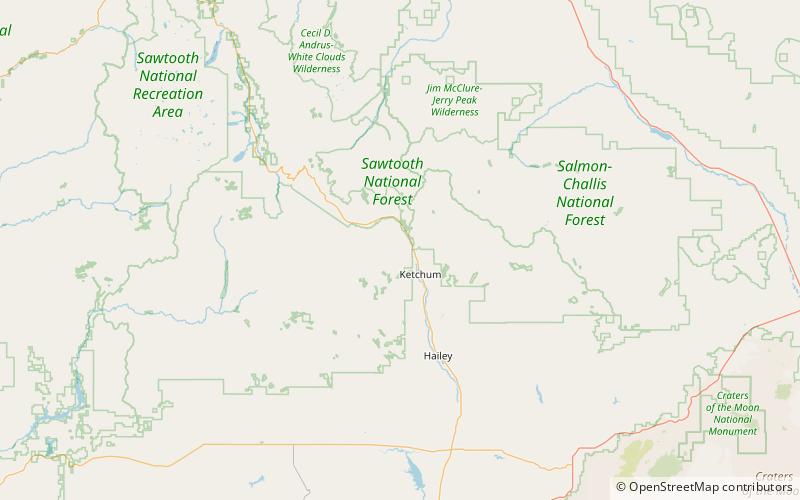
Griffin Butte, Sawtooth National Forest

Nr. 25 unter den Attraktionen in Sawtooth National Forest

Natur, Natürliche Anziehungskraft, Berg
Griffin Butte location map
Karte

Fakten und Informationen

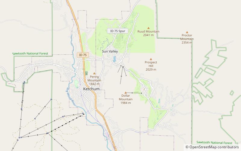
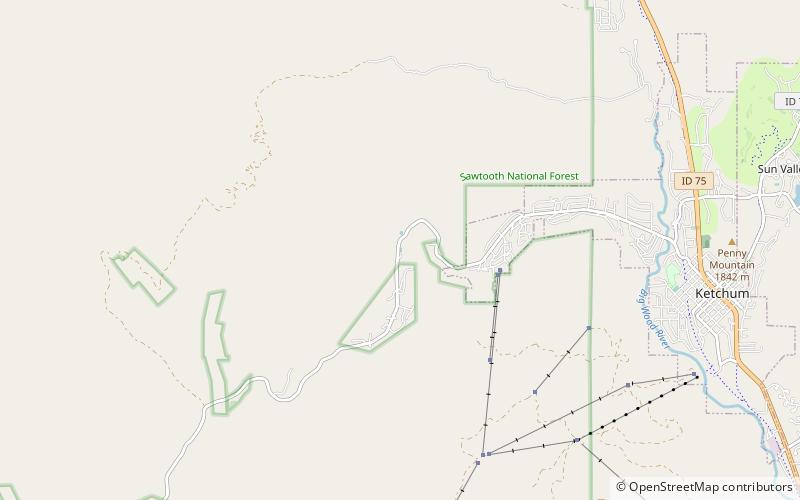
Griffin Butte, 8.411 Fuß über dem Meeresspiegel, ist ein Gipfel in den Smoky Mountains von Idaho. Der Gipfel befindet sich im Sawtooth National Forest im Blaine County nordwestlich von Ketchum. Er befindet sich im Wassereinzugsgebiet des Big Wood River. Er befindet sich etwa 1,75 Meilen westlich des Idaho State Highway 75. Es führen keine Straßen oder Wege zum Gipfel.

Höhenlage: 8411 ftDie Prominenz des Gipfels: 871 ftKoordinaten: 43°43'48"N, 114°25'12"W
Adresse

Sawtooth National Forest Vereinigte Staaten

KontaktHinzufügen
Soziale Medien
Tagesausflüge

Griffin Butte – beliebt in der gegend (entfernung vom objekt)

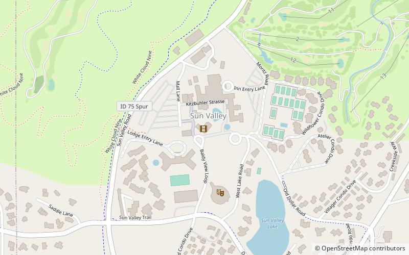
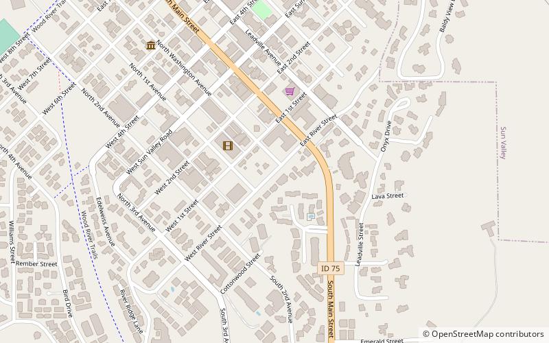
In der Nähe befinden sich unter anderem Attraktionen wie: Dollar Mountain, Ketchum Sun Valley Historical Society Heritage & Ski Museum, Bald Mountain, Sun Valley Center for the Arts.

  • dollar mountain sun valley location map
    4.7 miSE
  • ketchum sun valley historical society heritage ski museum location map
    4.5 miSE
  • bald mountain sawtooth national forest5.2 miS
  • sun valley center for the arts ketchum location map
    4.3 miSE
  • fly sun valley paragliding ketchum4.4 miSE
  • penny lake sawtooth national forest location map
    3 miS
  • sun valley opera house location map
    4.1 miSE
  • gilman contemporary ketchum4.4 miSE
  • gail severn gallery ketchum4.4 miSE
  • ketchum ranger district administrative site location map
    4.6 miSE
  • dollar lake sawtooth national forest location map
    2.9 miS

Wohin als nächstes? Gehen Sie auf die Seite der Region idaho Idaho oder sehen Sie sich alle Orte und Sehenswürdigkeiten in den Vereinigten Staaten an.