Bay St. Louis Municipal Harbor, Bay St. Louis

Fakten und Informationen
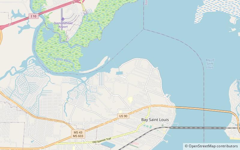
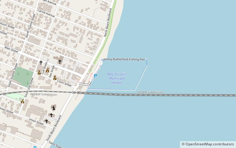
Bay St. Louis Municipal Harbor (Adresse: 100 Jody Compretta Dr) ist eine Attraktion in Bay St. Louis (Bundesstaat Mississippi) und gehört zur Kategorie Segeln, Yachthafen.
Es liegt auf einer Höhe von 0 ft, und seine geographischen Koordinaten sind 30°18'38"N Breite und 89°19'23"W Länge.
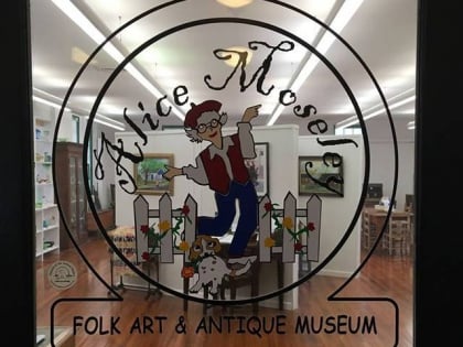
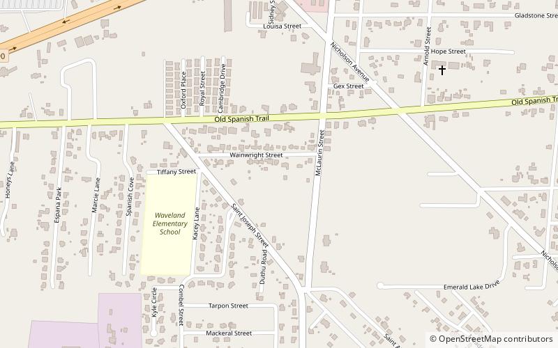
Weitere sehenswerte Orte und Attraktionen in der Nähe sind unter anderem: Alice Moseley Folk Art and Antique Museum (Museum, 18 Min. Fußweg), Hollywood Casino Gulf Coast (Nachtleben, 65 Min. Fußweg), Waveland (Stadt, 85 Min. Fußweg).
Bay St. Louis Municipal Harbor – beliebt in der gegend (entfernung vom objekt)
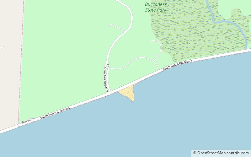
In der Nähe befinden sich unter anderem Attraktionen wie: Pass Christian Library, Alice Moseley Folk Art and Antique Museum, Hollywood Casino Gulf Coast, Buccaneer State Park.


