Black Butte, Beaverhead-Deerlodge National Forest

Galerie (1)
Karte
Karte
Fakten und Informationen
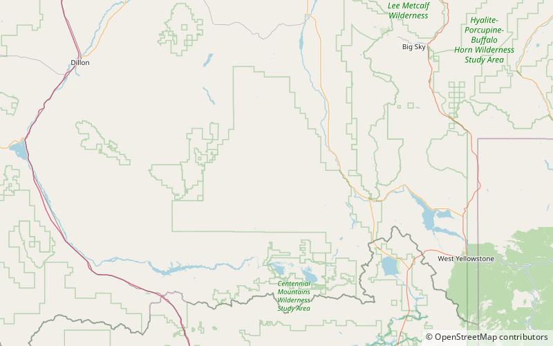
Black Butte, el. 10.547 Fuß, ist der höchste Gipfel in der Gravelly Range im Madison County, Montana. Die östliche Basis des Gipfels ist weniger als 1 Meile von der Beaverhead-Deerlodge National Forest Road #290 entfernt.
Höhenlage: 10547 ftDie Prominenz des Gipfels: 3182 ftKoordinaten: 44°54'16"N, 111°51'18"W
Adresse
Beaverhead-Deerlodge National Forest
KontaktHinzufügen
Soziale Medien
Hinzufügen