Trek Zone

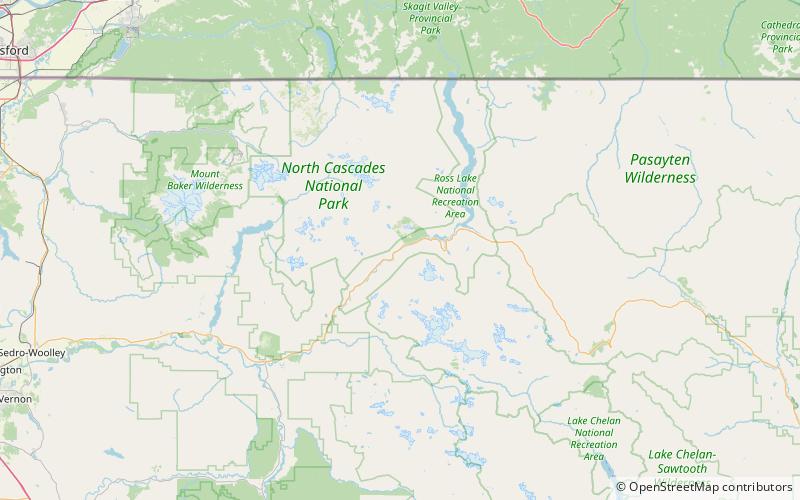
Devil's Corner Cliff Walk, Ross Lake National Recreation Area

Nr. 6 unter den Attraktionen in Ross Lake National Recreation Area

Brücke
Devil's Corner Cliff Walk location map
Karte

Fakten und Informationen

Der Devil's Corner Cliff Walk ist eine Besonderheit des Ross Lake National Recreation Area.

Sie wurde 1875 erbaut und diente bis etwa Anfang des 20. Jahrhunderts als Fußgängerbrücke, heute ist sie ein Park. Sie wurde 1974 in das National Register of Historic Places aufgenommen.

Gebaut: 1875 (vor 149 Jahren)Koordinaten: 48°41'28"N, 121°13'23"W
Adresse

Ross Lake National Recreation Area Vereinigte Staaten

KontaktHinzufügen
Soziale Medien
Hinzufügen
Tagesausflüge

Devil's Corner Cliff Walk – beliebt in der gegend (entfernung vom objekt)

In der Nähe befinden sich unter anderem Attraktionen wie: Paul Bunyans Stump, Mount Ross, Diablo Lake, Colonial Peak.

  • paul bunyans stump north cascades nationalpark3.8 miSE
  • mount ross north cascades nationalpark1.6 miNW
  • diablo lake ross lake national recreation area5.4 miE
  • colonial peak north cascades nationalpark5.1 miSE
  • snowfield peak north cascades nationalpark5.5 miSE
  • stephen mather wilderness north cascades nationalpark5 miSE
  • the chopping block north cascades nationalpark5.9 miNW
  • davis peak north cascades nationalpark2.8 miN
  • sourdough mountain north cascades nationalpark6 miNE
  • neve glacier north cascades nationalpark4.9 miSE
  • colonial glacier north cascades nationalpark4.3 miSE

Wohin als nächstes? Gehen Sie auf die Seite der Region washington Washington oder sehen Sie sich alle Orte und Sehenswürdigkeiten in den Vereinigten Staaten an.