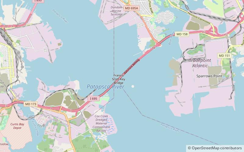
Francis Scott Key Bridge, Baltimore

Galerie (3)
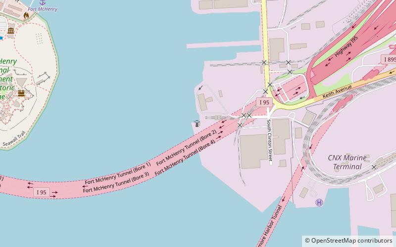
Karte

Karte
Galerie
Fakten und Informationen
Die Francis Scott Key Bridge, auch Outer Harbor Bridge oder schlicht Key Bridge genannt, ist eine vierspurige Straßenbrücke in Baltimore, Maryland, USA, die im Zuge der Ringautobahn Interstate 695 im Südosten der Stadt den Patapsco River überquert. ()
Geöffnet: 1977 (vor 49 Jahren)Länge: 8636 ftKoordinaten: 39°13'9"N, 76°31'31"W
Tagesausflüge
Francis Scott Key Bridge – beliebt in der gegend (entfernung vom objekt)
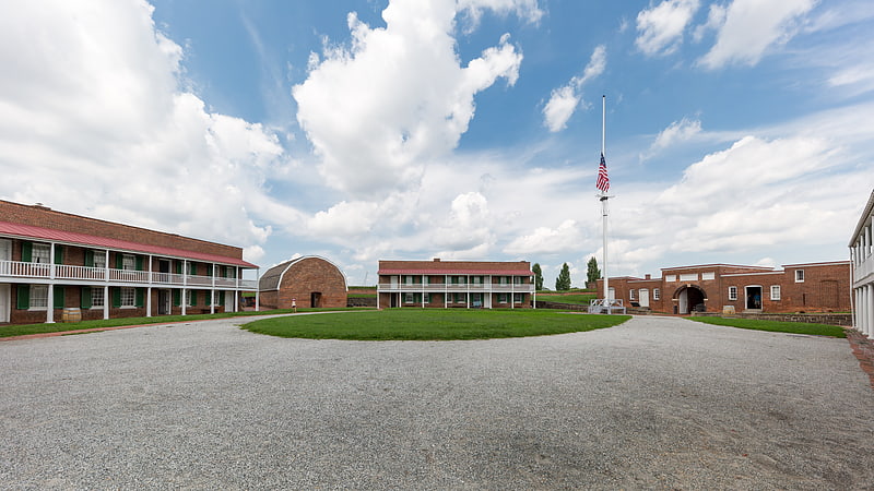
In der Nähe befinden sich unter anderem Attraktionen wie: Fort McHenry, Star-Spangled Banner National Historic Trail, Armistead Monument, Todd's Inheritance.