Trek Zone

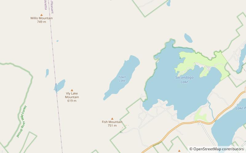
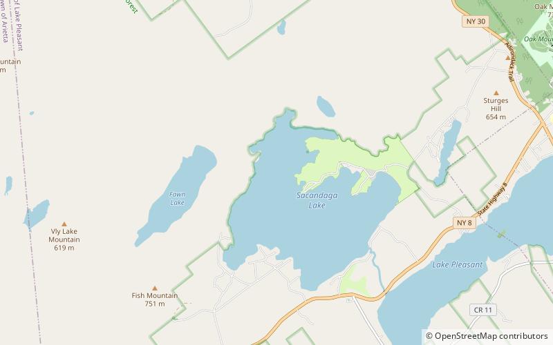
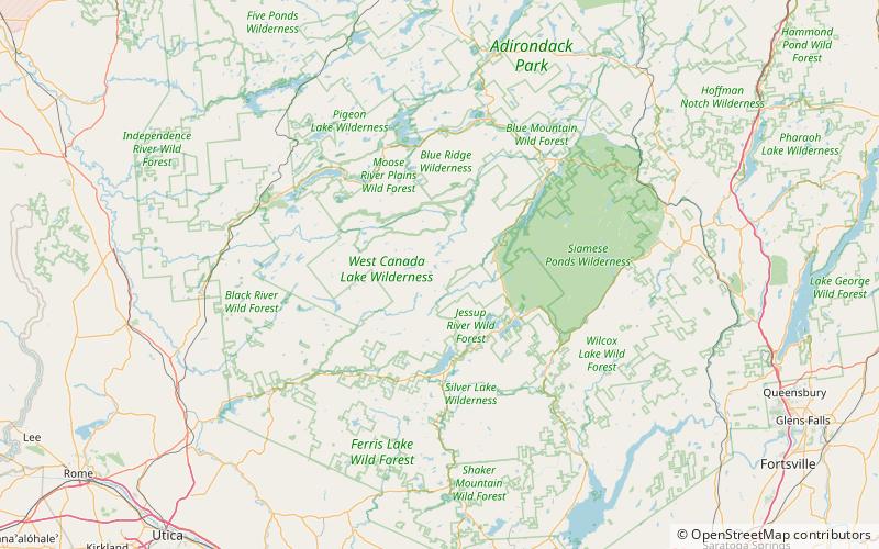
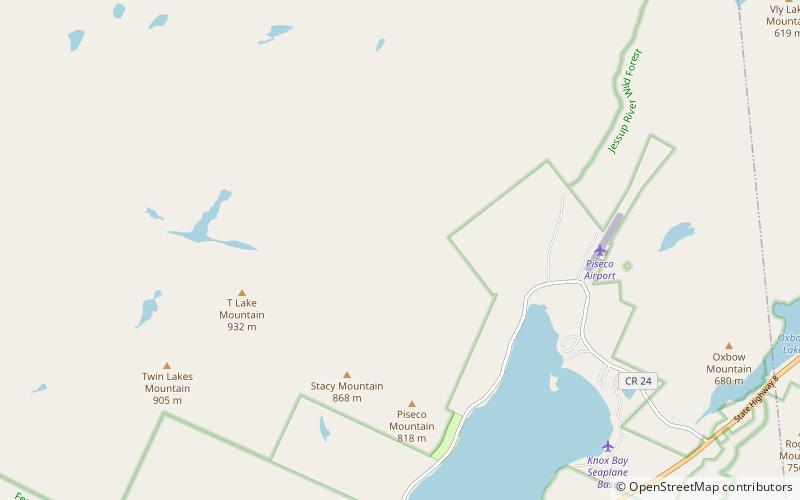
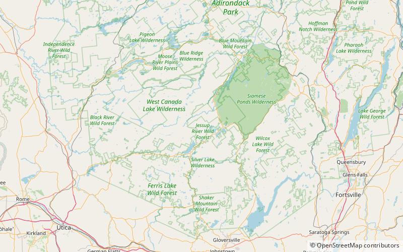
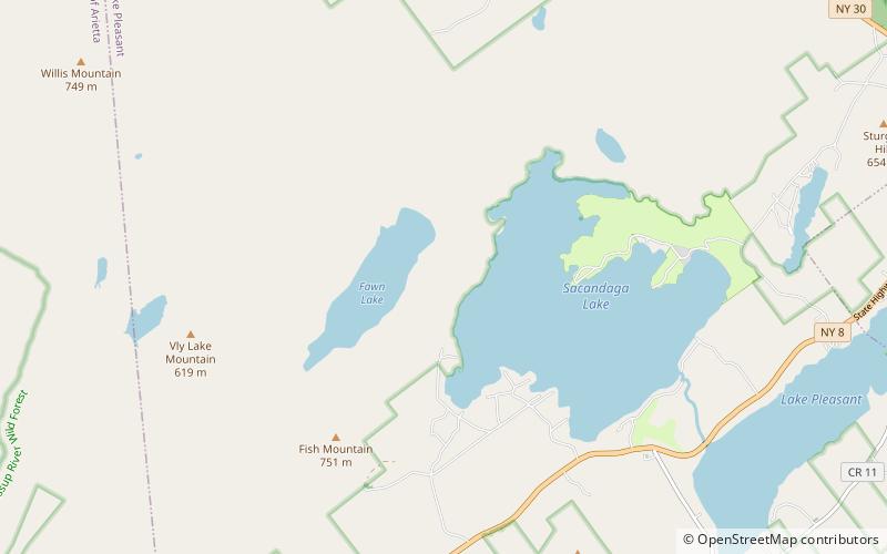
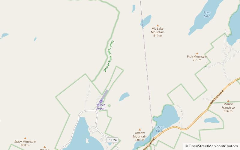
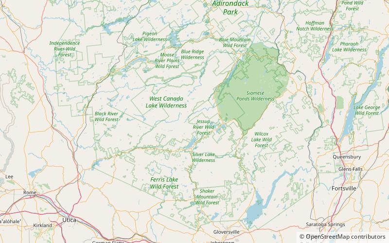
South Pond, Jessup River Wild Forest

Nr. 11 unter den Attraktionen in Jessup River Wild Forest

Natürliche Anziehungskraft, See
South Pond location map
Karte

Fakten und Informationen

South Pond ist ein See nordöstlich von Big Moose, New York. Der Ausfluss fließt in den Twitchell Creek. Die im See vorkommenden Fischarten sind Bachforelle, Bachsaibling und Seeforelle. Am Südufer gibt es einen Wanderweg. Motoren sind auf diesem See nicht erlaubt.

Maximale Tiefe: 31 ftHöhe: 1916 ft ü. d. M.Koordinaten: 43°30'14"N, 74°31'31"W
Adresse

Jessup River Wild Forest Vereinigte Staaten

KontaktHinzufügen
Soziale Medien
Hinzufügen
Tagesausflüge

South Pond – beliebt in der gegend (entfernung vom objekt)

In der Nähe befinden sich unter anderem Attraktionen wie: Oxbow Lake, Sacandaga Lake, Fawn Lake, Pelcher Pond.

  • oxbow lake jessup river wild forest4.8 miSE
  • sacandaga lake jessup river wild forest5.2 miE
  • fawn lake jessup river wild forest location map
    3.7 miE
  • pelcher pond adirondack park location map
    4.8 miE
  • fourth lake adirondack park4.3 miS
  • witchhopple lake west canada lake wilderness area location map
    5.1 miN
  • lake rondaxe west canada lake wilderness area location map
    3.8 miS
  • russian lake jessup river wild forest location map
    2.1 miE
  • shallow lake jessup river wild forest location map
    4.2 miE
  • salmon lake west canada lake wilderness area location map
    4.8 miNW
  • bubb lake jessup river wild forest location map
    3 miS

Wohin als nächstes? Gehen Sie auf die Seite der Region new york New York oder sehen Sie sich alle Orte und Sehenswürdigkeiten in den Vereinigten Staaten an.