Bromaghin Peak, Sawtooth National Forest
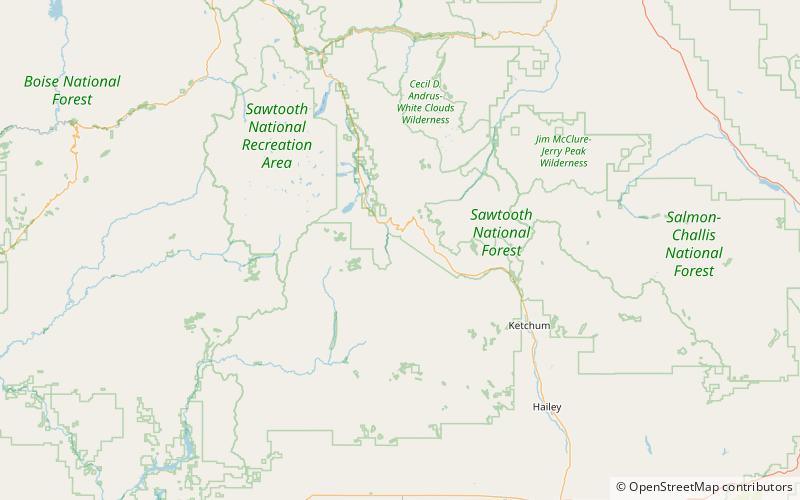
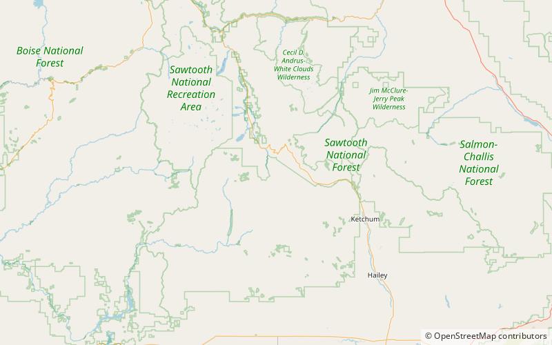
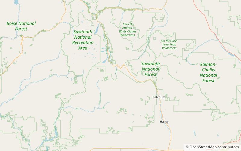
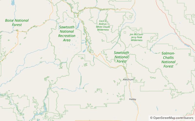
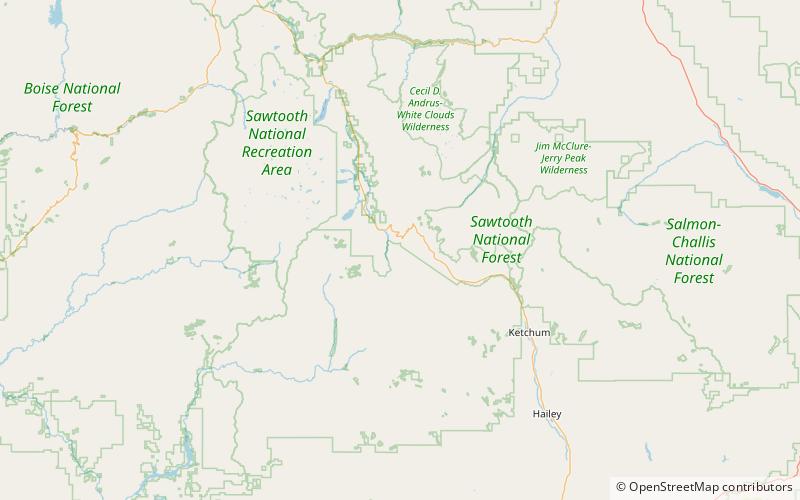
Karte
Fakten und Informationen
Bromaghin Peak ist mit einer Höhe von 10.225 Fuß über dem Meeresspiegel der vierthöchste Gipfel in den Smoky Mountains von Idaho. Der Gipfel liegt in der Sawtooth National Recreation Area, etwa 0,6 Meilen nord-nordwestlich des höchsten Punktes des Gebirges, Saviers Peak. Der Gipfel ist nach Captain Ralph Bromaghin benannt, einem Mitglied der 10th Mountain Division und Skilehrer aus Sun Valley, der im Zweiten Weltkrieg gefallen ist.
Höhenlage: 10225 ftDie Prominenz des Gipfels: 185 ftKoordinaten: 43°49'50"N, 114°43'8"W
Adresse
Sawtooth National Forest
KontaktHinzufügen
Soziale Medien
Hinzufügen
Tagesausflüge

Häufig gestellte Fragen (FAQ)
Welche beliebten Attraktionen gibt es in der Nähe?
Zu den nahe gelegenen Attraktionen gehören. Dollarhide Mountain, Sawtooth National Forest (15 Min. Fußweg), Titus Peak, Sawtooth National Forest (15 Min. Fußweg), Saviers Peak, Sawtooth National Forest (17 Min. Fußweg), Smoky Mountains, Sawtooth National Forest (17 Min. Fußweg).