Gunnison Valley, Manti-La Sal National Forest

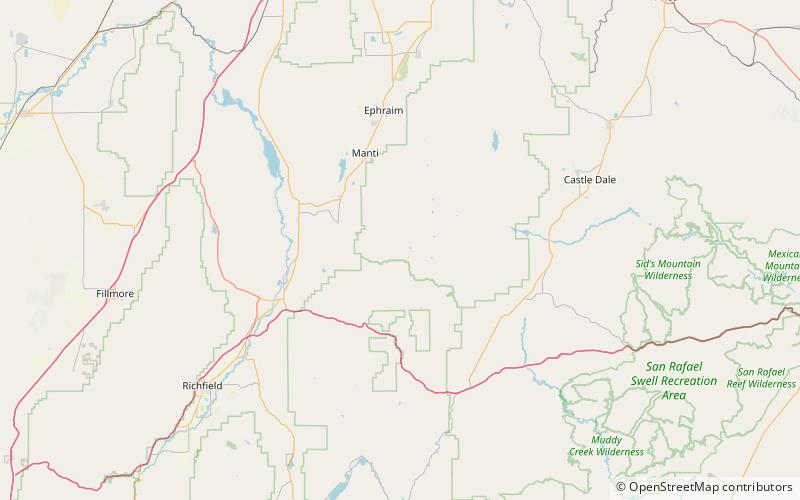
Karte
Fakten und Informationen
Gunnison Valley, ist ein Tal, das im Sanpete County bei 39°03′46″N 111°32′26″W entspringt und dessen Mündung im Sevier County, Utah, liegt.
Hier entspringt das Quellgebiet des Salina Creek.
Koordinaten: 39°3'46"N, 111°32'28"W
Adresse
Manti-La Sal National Forest
KontaktHinzufügen
Soziale Medien
Hinzufügen
Tagesausflüge
Gunnison Valley – beliebt in der gegend (entfernung vom objekt)
In der Nähe befinden sich unter anderem Attraktionen wie: White Mountain.
