Standhope Peak, Salmon-Challis National Forest

Galerie (1)
Karte
Karte
Fakten und Informationen
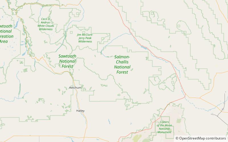
Standhope Peak ist mit 11.878 Fuß über dem Meeresspiegel der vierthöchste Gipfel in den Pioneer Mountains von Idaho. Der Gipfel befindet sich im Salmon-Challis National Forest und im Custer County. Er ist der 20. höchste Gipfel in Idaho und liegt etwa 0,75 Meilen nordöstlich von Peak 11.887 und 1 Meile südwestlich von Altair Peak.
Höhenlage: 11878 ftDie Prominenz des Gipfels: 468 ftKoordinaten: 43°47'5"N, 114°1'30"W
Adresse
Salmon-Challis National Forest
KontaktHinzufügen
Soziale Medien
Hinzufügen
Tagesausflüge