Hanging Rock Camp, Cherokee State Park

Galerie (1)
Karte
Karte
Fakten und Informationen
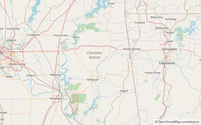
Hanging Rock Camp (Adresse: 7453 N Highway 10) ist eine Attraktion in Cherokee State Park (Bundesstaat Oklahoma) und gehört zur Kategorie Natur, Natürliche Anziehungskraft, Klippe.
Es liegt auf einer Höhe von 827 ft, und seine geographischen Koordinaten sind 36°4'0"N Breite und 94°52'60"W Länge.
Weitere sehenswerte Orte und Attraktionen in der Nähe sind unter anderem: J. T. Nickel Family Nature and Wildlife Preserve (Ortschaft, 76 Min. Fußweg).
Koordinaten: 36°4'0"N, 94°52'60"W
Tagesausflüge
Hanging Rock Camp – beliebt in der gegend (entfernung vom objekt)
In der Nähe befinden sich unter anderem Attraktionen wie: J. T. Nickel Family Nature and Wildlife Preserve.
