Trek Zone

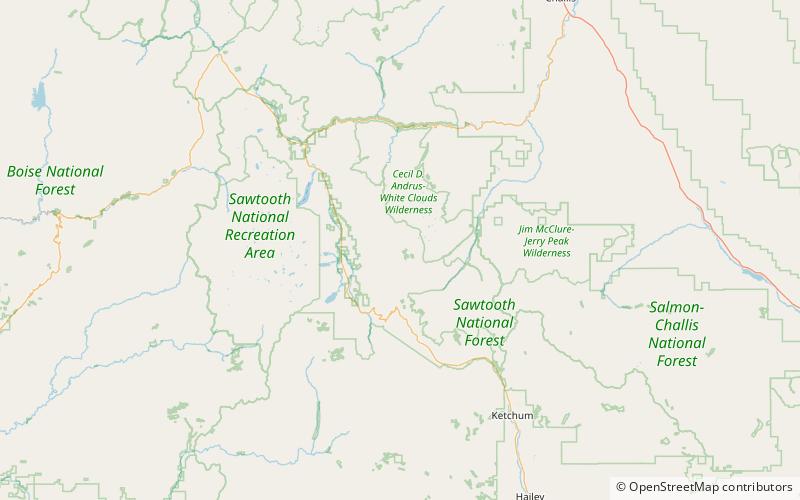
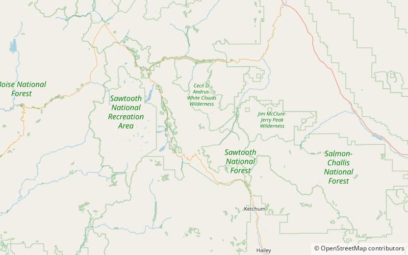
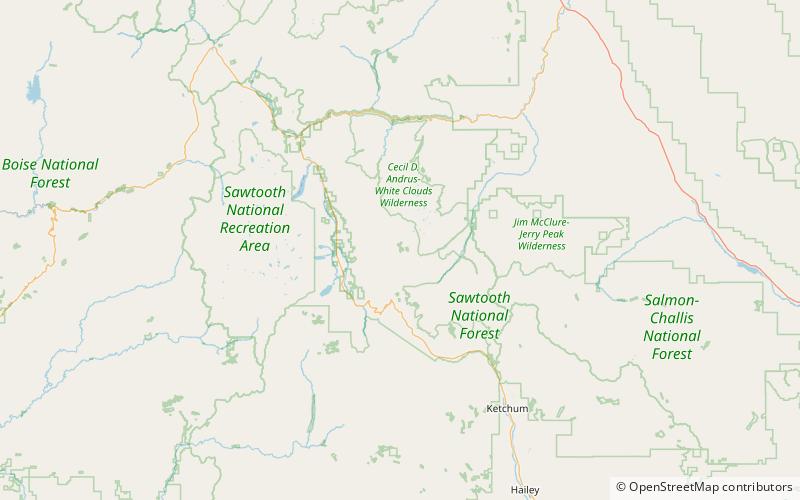
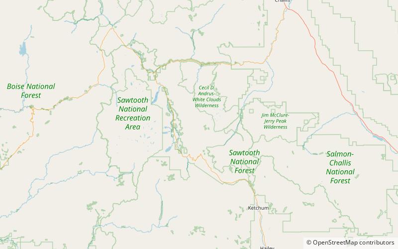
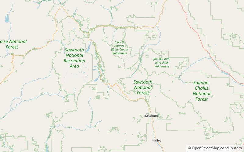
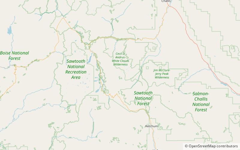
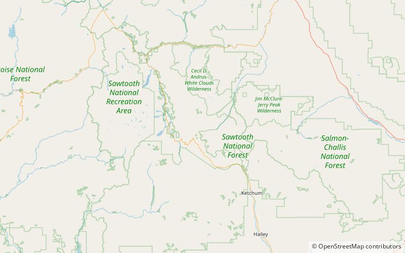
Lower Deer Lake, Sawtooth National Recreation Area

Nr. 37 unter den Attraktionen in Sawtooth National Recreation Area

Natur, Natürliche Anziehungskraft, See
Lower Deer Lake location map
Karte

Fakten und Informationen

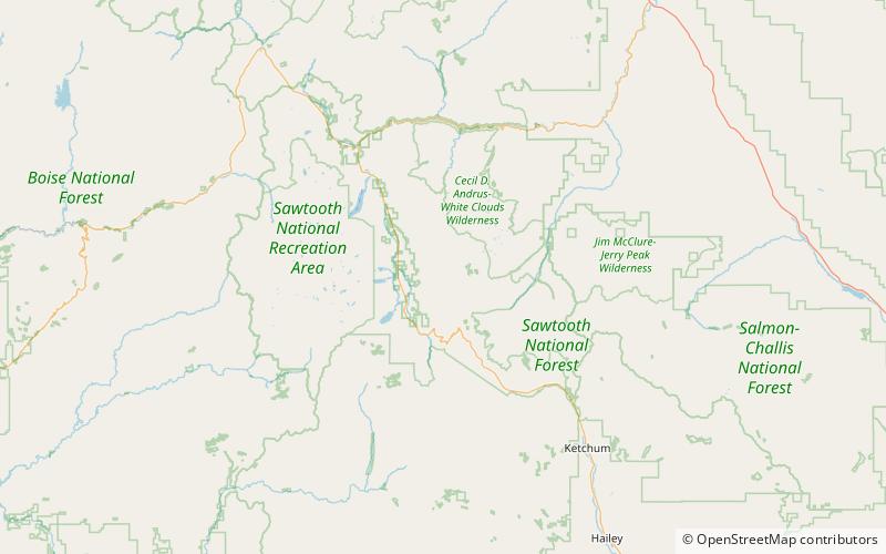
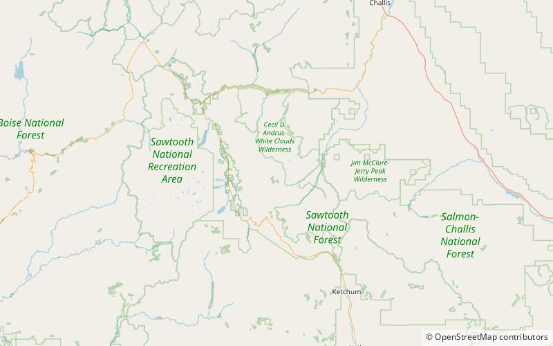
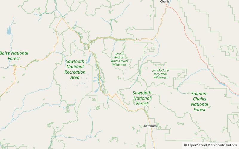
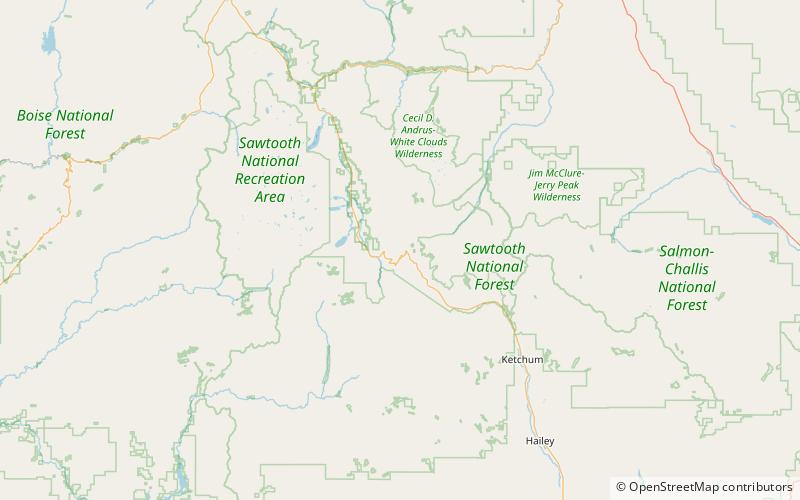
Der Lower Deer Lake ist ein alpiner See in Custer County, Idaho, Vereinigte Staaten, in den Boulder Mountains im Sawtooth National Recreation Area. Zwar führen keine Wanderwege zum See, doch ist er am einfachsten über die Wanderwege 111 und 215 zu erreichen. Er befindet sich nördlich und flussabwärts des Upper Deer Lake.

Länge: 585 ftBreite: 355 ftHöhe: 9508 ft ü. d. M.Koordinaten: 43°56'32"N, 114°37'55"W
Adresse

Sawtooth National Recreation Area Vereinigte Staaten

KontaktHinzufügen
Soziale Medien
Hinzufügen
Tagesausflüge

Lower Deer Lake – beliebt in der gegend (entfernung vom objekt)

In der Nähe befinden sich unter anderem Attraktionen wie: Washington Peak, Bible Back Mountain, Croseus Peak, Cerro Ciento.

  • washington peak sawtooth national recreation area location map
    5 miNW
  • bible back mountain sawtooth national recreation area location map
    3.8 miN
  • croseus peak sawtooth national recreation area location map
    3.9 miN
  • cerro ciento hemingway boulders wilderness6 miSE
  • champion lakes sawtooth national recreation area location map
    5.7 miNW
  • rainbow lake sawtooth national recreation area location map
    5.4 miNW
  • hoodoo lake sawtooth national recreation area location map
    5.4 miN
  • phyllis lake sawtooth national recreation area location map
    5.6 miN
  • governors punch bowl sawtooth national recreation area location map
    4.6 miSW
  • upper deer lake sawtooth national recreation area location map
    ~1500 ftSE
  • ebony peak sawtooth national recreation area location map
    5.3 miN

Wohin als nächstes? Gehen Sie auf die Seite der Region idaho Idaho oder sehen Sie sich alle Orte und Sehenswürdigkeiten in den Vereinigten Staaten an.