Trek Zone

Mary Island State Park, Wellesley Island

Nr. 3 unter den Attraktionen in Wellesley Island

Natur, Natürliche Anziehungskraft, Geschützter Bereich
Mary Island State Park location map
Karte

Fakten und Informationen

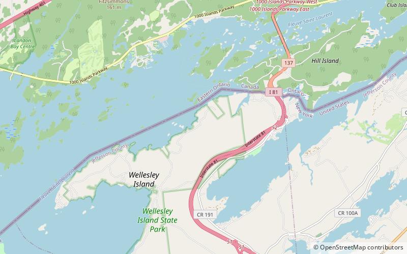
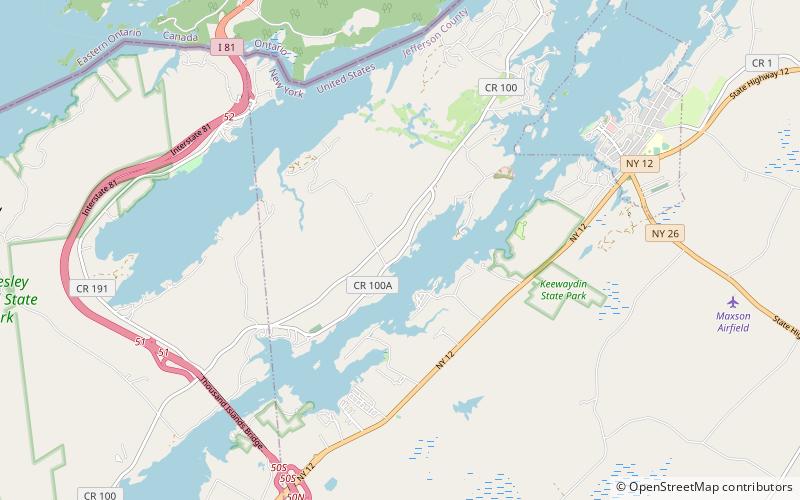
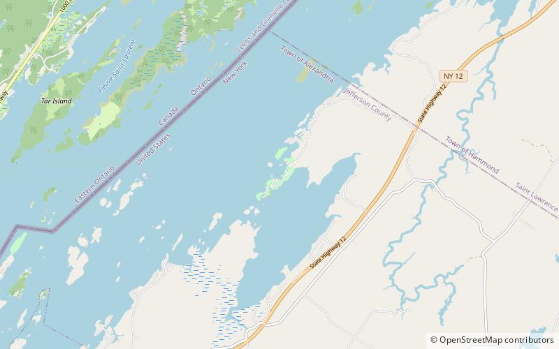
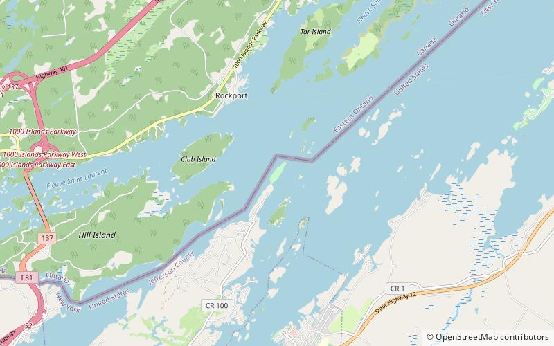
Mary Island State Park ist ein 13 Hektar großer staatlicher Park im St. Lawrence River in Jefferson County, New York. Der Park befindet sich in der Stadt Alexandria am östlichen Ende von Wellesley Island und ist nur mit dem Boot erreichbar.

Erstellt: 1897Besucher pro Jahr: 3.4 Tsd.Koordinaten: 44°21'57"N, 75°55'17"W
Adresse

Wellesley Island Vereinigte Staaten

Kontakt
Soziale Medien
Hinzufügen
Tagesausflüge

Mary Island State Park – beliebt in der gegend (entfernung vom objekt)

In der Nähe befinden sich unter anderem Attraktionen wie: Boldt Castle, Cornwall Brothers' Store, Thousand Islands Bridge, Church of Saint Lawrence.

  • boldt castle alexandria bay1.5 miS
  • cornwall brothers store alexandria bay1.9 miS
  • thousand islands bridge3.3 miSW
  • church of saint lawrence alexandria bay2 miS
  • sunken rock light alexandria bay1.4 miS
  • kestrel wellesley island1.4 miS
  • waterson point state park thousand islands location map
    4.6 miSW
  • wellesley island state park6 miSW
  • densmore bay church thousand islands location map
    3.4 miSW
  • ingleside alexandria bay location map
    2.3 miS
  • kring point state park location map
    3.3 miE

Wohin als nächstes? Gehen Sie auf die Seite der Region new york New York oder sehen Sie sich alle Orte und Sehenswürdigkeiten in den Vereinigten Staaten an.