Dry Range, Helena National Forest
Karte
Fakten und Informationen
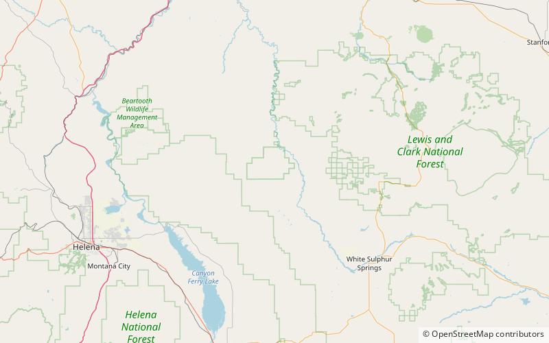
Die Dry Range, el. 6.152 Fuß, ist ein kleiner Gebirgszug nordwestlich von White Sulphur Springs, Montana im Meagher County, Montana.
Maximale Höhe: 6152 ftKoordinaten: 46°47'60"N, 111°17'2"W
Adresse
Helena National Forest
KontaktHinzufügen
Soziale Medien
Hinzufügen