Trek Zone

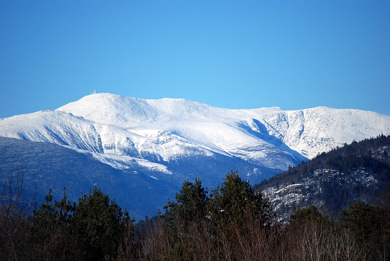
Mount Isolation, White Mountain National Forest
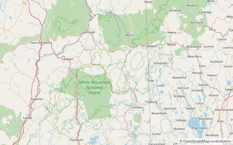
Nr. 52 unter den Attraktionen in White Mountain National Forest

Natur, Natürliche Anziehungskraft, Berg
Mount Isolation location map
Karte

Fakten und Informationen

Der Mount Isolation ist ein Berg in Coos County, New Hampshire. Der Berg ist Teil der Presidential Range der White Mountains. Mount Isolation ist der höchste Gipfel auf dem Montalban Ridge, der sich südlich von Boott Spur erstreckt.

Isolation liegt in der Presidential Range-Dry River Wilderness und ist, wie der Name schon sagt, einer der abgelegensten Gipfel der White Mountains. Isolation ist einer der "Viertausender" des Appalachian Mountain Club, da er die erforderliche Höhe von 1.219 m und 61 m aufweist.

Höhenlage: 4003 ftDie Prominenz des Gipfels: 203 ftKoordinaten: 44°12'53"N, 71°18'33"W
Adresse

White Mountain National Forest Vereinigte Staaten

KontaktHinzufügen
Soziale Medien
Hinzufügen
Tagesausflüge

Mount Isolation – beliebt in der gegend (entfernung vom objekt)

In der Nähe befinden sich unter anderem Attraktionen wie: Mount Washington, Lakes of the Clouds, Mount Pierce, Mount Monroe.

  • mount washington white mountain national forest3.9 miN
  • lakes of the clouds white mountain national forest3.1 miN
  • mount pierce white mountain national forest2.9 miW
  • mount monroe white mountain national forest2.9 miN
  • mount eisenhower white mountain national forest2.7 miNW
  • mount webster white mountain national forest4.2 miW
  • mount washington state park white mountain national forest3.8 miN
  • mount clay white mountain national forest4.9 miN
  • boott spur white mountain national forest2.7 miN
  • presidential range white mountain national forest3.9 miN
  • white mountains white mountain national forest3.9 miN

Wohin als nächstes? Gehen Sie auf die Seite der Region new hampshire New Hampshire oder sehen Sie sich alle Orte und Sehenswürdigkeiten in den Vereinigten Staaten an.