Trek Zone

Mount Meader, White Mountain National Forest

Nr. 73 unter den Attraktionen in White Mountain National Forest

Natur, Natürliche Anziehungskraft, Berg
Mount Meader

Fakten und Informationen

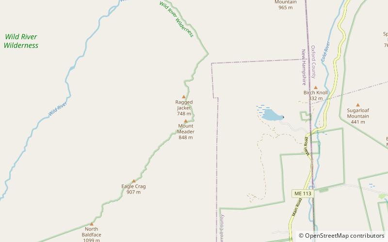
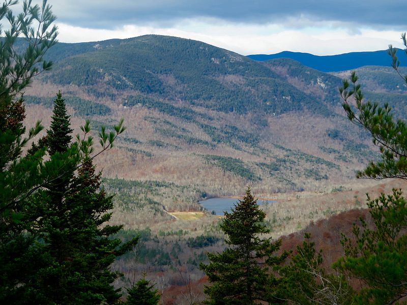
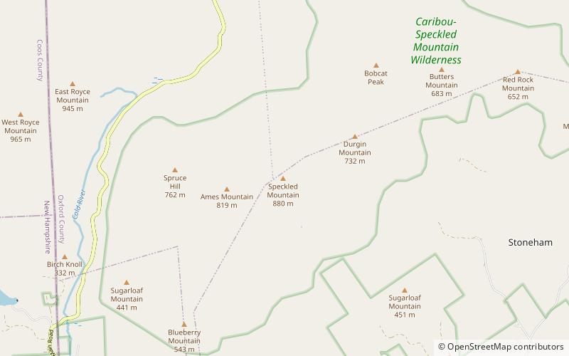
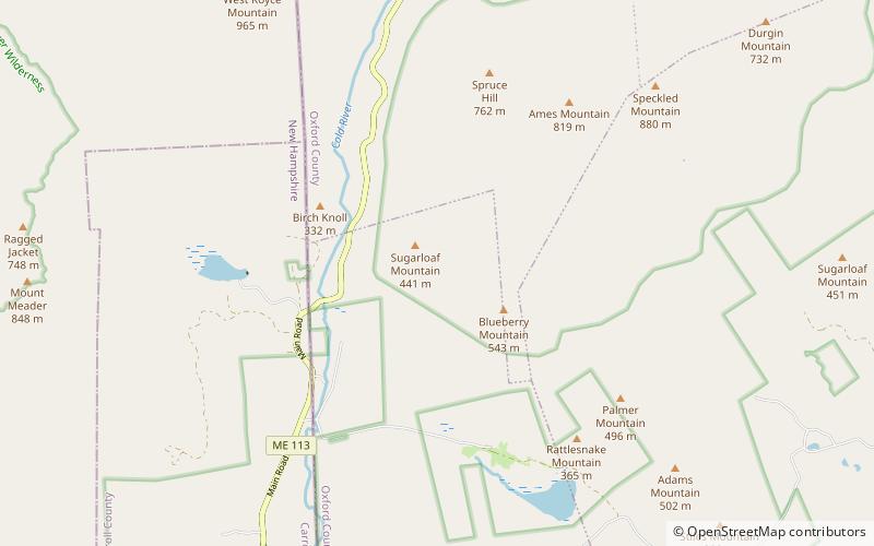
Mount Meader, Höhe 2.782 Fuß, ist ein Berg in der Baldface-Royce Range, in Coos County, New Hampshire gelegen. Er wird über die Wanderwege Basin Rim, Mount Meader und Meader Ridge erreicht. Er wird im Südwesten von Eagle Crag und im Nordosten von West Royce Mountain flankiert.

Koordinaten: 44°16'9"N, 71°3'3"W
Adresse

White Mountain National Forest Vereinigte Staaten

KontaktHinzufügen
Soziale Medien
Hinzufügen
Tagesausflüge

Mount Meader – beliebt in der gegend (entfernung vom objekt)

In der Nähe befinden sich unter anderem Attraktionen wie: South Baldface, Mount Moriah, North Baldface, Imp Mountain.

  • south baldface white mountain national forest3 miSW
  • mount moriah white mountain national forest6.3 miNW
  • north baldface white mountain national forest2.5 miSW
  • imp mountain white mountain national forest location map
    6.4 miNW
  • middle moriah mountain white mountain national forest location map
    6.6 miNW
  • speckled mountain white mountain national forest location map
    5 miE
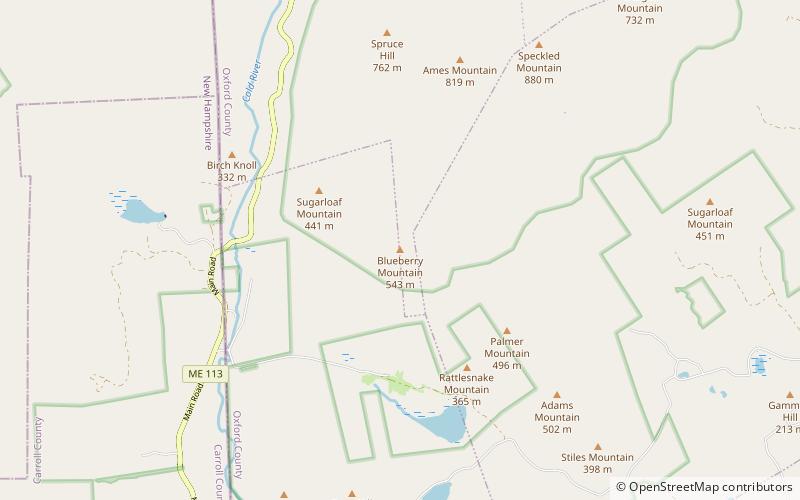
  • blueberry mountain white mountain national forest location map
    3.6 miE
  • eastman mountain white mountain national forest3.7 miS
  • baldface royce range white mountain national forest2.6 miSW
  • bickford slides shelburne location map
    3 miE
  • evans notch white mountain national forest3.9 miNE

Wohin als nächstes? Gehen Sie auf die Seite der Region new hampshire New Hampshire oder sehen Sie sich alle Orte und Sehenswürdigkeiten in den Vereinigten Staaten an.