Trek Zone

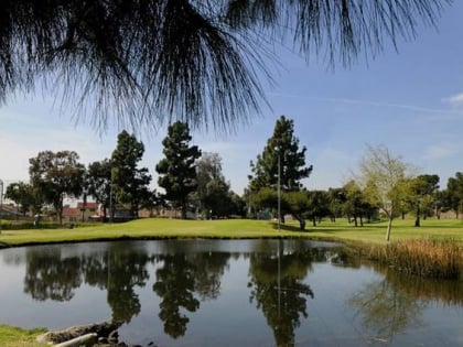
Pico Rivera Municipal Golf Course, Los Angeles
Nr. 447 unter den Attraktionen in Los Angeles

Golf
Pico Rivera Municipal Golf Course

Fakten und Informationen

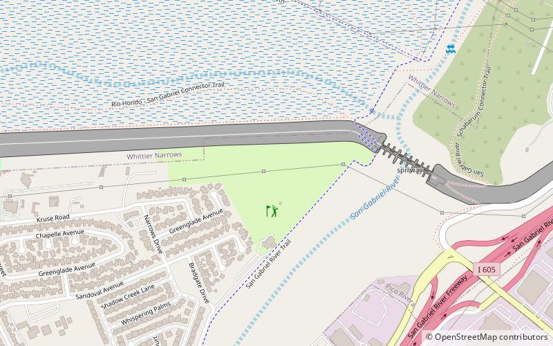
Pico Rivera Municipal Golf Course (Adresse: 3260 Fairway Dr) ist eine Attraktion in Los Angeles (Bundesstaat Kalifornien) und gehört zur Kategorie Golf.

Es liegt auf einer Höhe von 210 ft, und seine geographischen Koordinaten sind 34°1'14"N Breite und 118°3'32"W Länge.

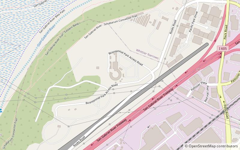
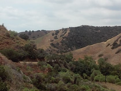
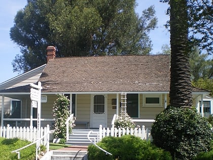
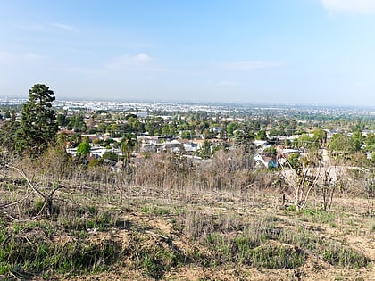
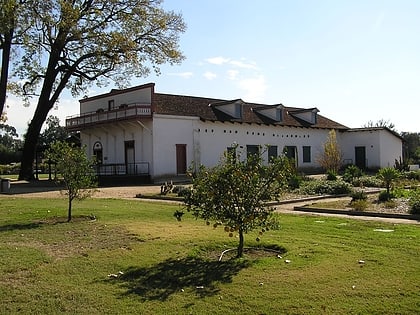
Weitere sehenswerte Orte und Attraktionen in der Nähe sind unter anderem: Whittier Narrows (Hügel, 21 Min. Fußweg), Pico Rivera Sports Arena (Sportstätte, 23 Min. Fußweg), Mission Vieja (Mission, 28 Min. Fußweg).

Koordinaten: 34°1'14"N, 118°3'32"W
Adresse

3260 Fairway DrSoutheast Los Angeles (Pico Rivera)Los Angeles 90660 Vereinigte Staaten

Kontakt
(562) 692-9933
Soziale Medien
Tagesausflüge

Pico Rivera Municipal Golf Course – beliebt in der gegend (entfernung vom objekt)

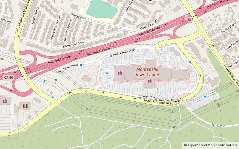
In der Nähe befinden sich unter anderem Attraktionen wie: The Shops at Montebello, Pico Rivera Sports Arena, Turnbull Canyon, Jonathan Bailey House.
  • the shops at montebello location map
    1.9 miNW
  • pico rivera sports arena los angeles location map
    0.9 miNE
  • turnbull canyon los angeles3.2 miSE
  • jonathan bailey house los angeles2.9 miSE
  • whittier los angeles3.7 miSE
  • national bank of whittier building hacienda heights3.2 miSE
  • pio pico state historic park los angeles2 miS
  • rio hondo bicycle path los angeles1.4 miW
  • rosemead los angeles3.6 miN
  • pico rivera los angeles2.9 miSW
  • south el monte los angeles2.2 miN

Wohin als nächstes? Gehen Sie auf die Seite der Region kalifornien Kalifornien oder sehen Sie sich alle Orte und Sehenswürdigkeiten in den Vereinigten Staaten an.