Tonto Trail, Grand Canyon National Park
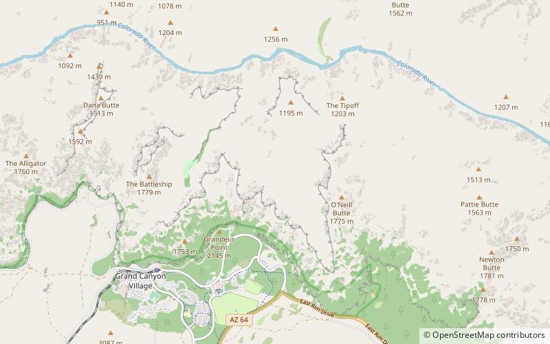
Karte
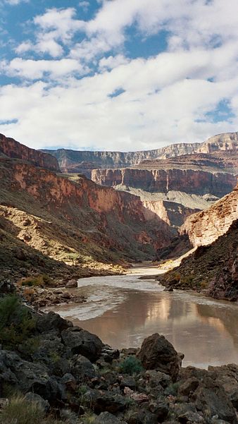
Galerie
Fakten und Informationen
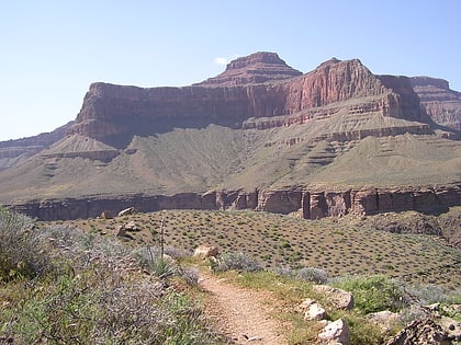
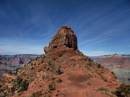
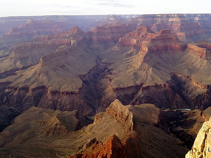
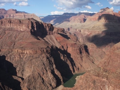
Der Tonto Trail ist ein Wanderweg am South Rim des Grand Canyon im Grand Canyon National Park im US-Bundesstaat Arizona.
Länge: 70 miJahreszeit: GanzjährigHöhe: 3757 ft ü. d. M.Koordinaten: 36°4'35"N, 112°6'25"W
Tagesausflüge
Tonto Trail – beliebt in der gegend (entfernung vom objekt)
In der Nähe befinden sich unter anderem Attraktionen wie: O'Neill Butte, Cope Butte, Plateau Point, Plateau Point Trail.
Häufig gestellte Fragen (FAQ)
Wie kommt man mit öffentlichen Verkehrsmitteln dorthin?
Bahnhöfe und Haltestellen in der Umgebung von Tonto Trail:
Busse
Busse
- Yavapai Geology Museum • Linien: Kaibab/Rim Route (East-bound), Kaibab/Rim Route (West-bound) (25 Min. Fußweg)
- Mather Point • Linien: Kaibab/Rim Route (West-bound) (26 Min. Fußweg)
