Windsor Locks Canal State Park Trail
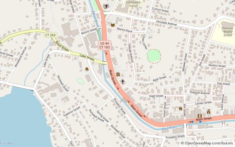
Karte

Karte

Fakten und Informationen
Windsor Locks Canal State Park Trail ist ein State Park im US-Bundesstaat Connecticut der sich von der Gemeinde Enfield bis Windsor Locks nach Süden zieht. Er folgt dem alten Leinpfad am historischen Enfield Falls Canal am Connecticut River. Der Weg ist 4,5 mi lang. ()
Koordinaten: 41°59'11"N, 73°0'58"W
Tagesausflüge
Windsor Locks Canal State Park Trail – beliebt in der gegend (entfernung vom objekt)
In der Nähe befinden sich unter anderem Attraktionen wie: American Museum of Tort Law, Winchester Soldiers' Monument, Solomon Rockwell House, St. Joseph Roman Catholic Church.


