Utah State Route 279, Moab
Karte
Fakten und Informationen
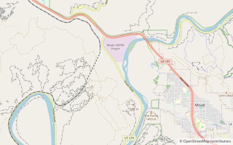
Die Utah State Route 279, auch Potash Road, ist ein Highway in Utah. Die Utah State Route 279 fängt nördlich von Moab am U.S. Highway 191 an und endet nahe dem Canyonlands-Nationalpark und dem Dead Horse Point State Park. Sie führt am Colorado entlang. Der Highway ist die ersten 22 km bis zu einer Fabrik asphaltiert; danach führt er 160 km über Schotter. Der Highway umrundet den Island in the Sky District. ()
Koordinaten: 38°35'20"N, 109°35'44"W
Adresse
Moab
KontaktHinzufügen
Soziale Medien
Hinzufügen
Tagesausflüge