Trek Zone

Edwards Pond

Nr. 1809 in der Beliebtheitsskala in den Vereinigten Staaten

See
Edwards Pond location map
Karte

Fakten und Informationen

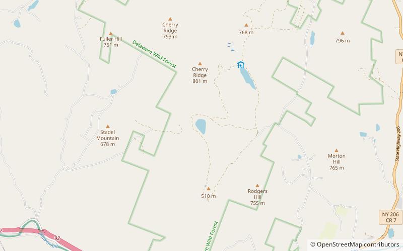
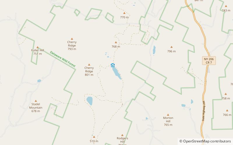
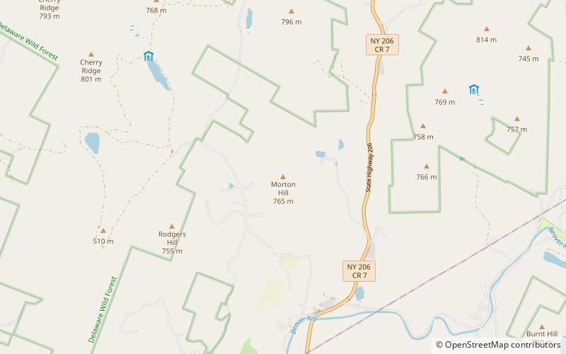
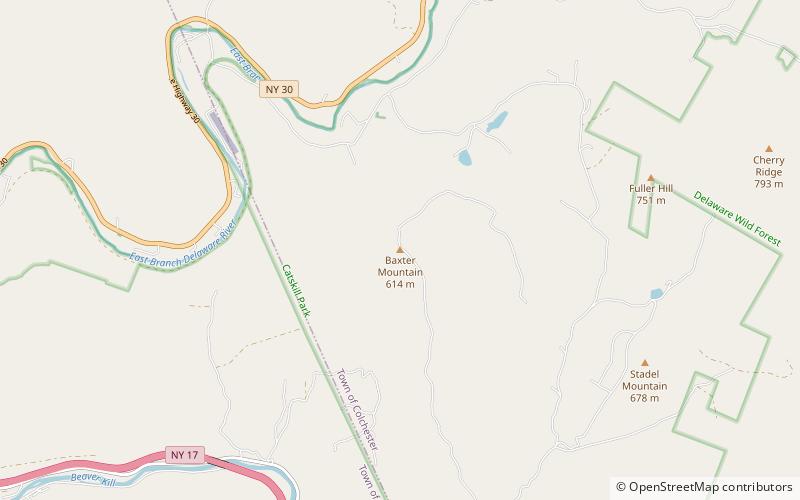
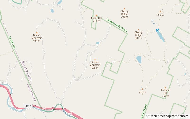
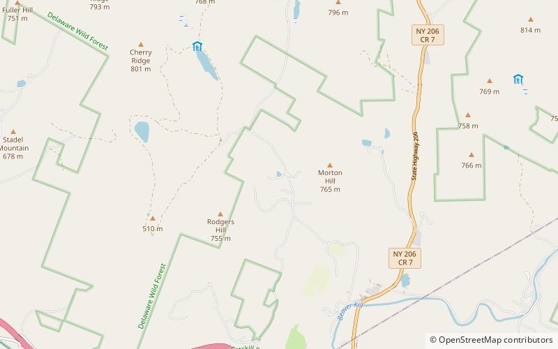
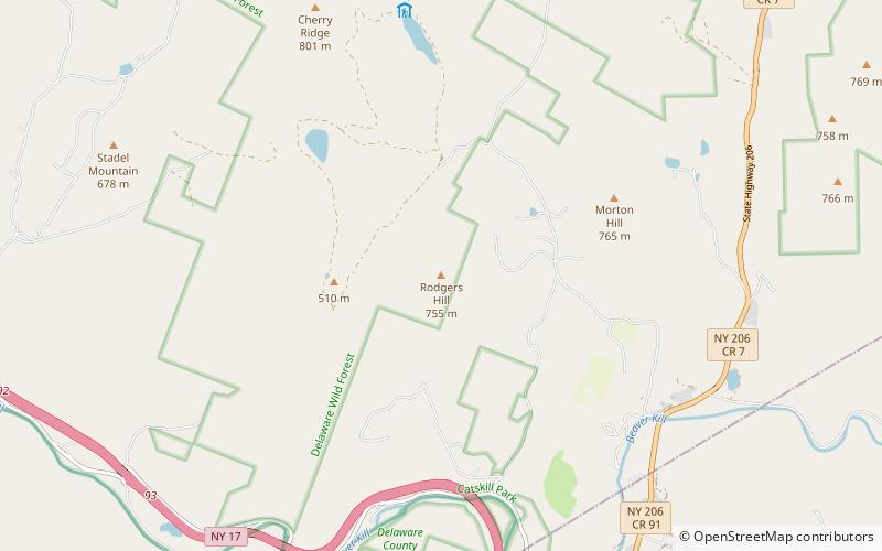
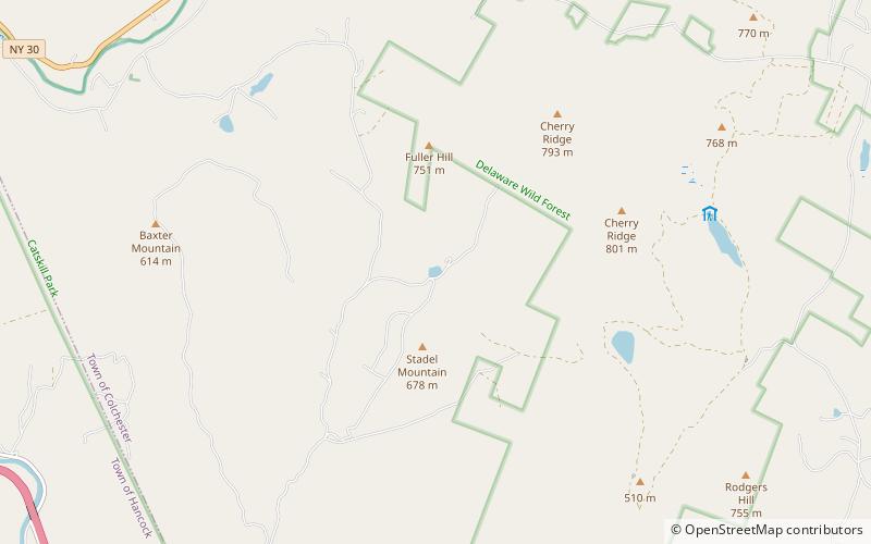
Edwards Pond ist ein kleiner See nordnordöstlich von Horton im Delaware County, New York. Der Little Fuller Brook fließt von Nordosten her in den See. Er entwässert dann nach Westen über den Little Fuller Brook, der in den Horton Brook mündet.

Höhe: 1768 ft ü. d. M.Koordinaten: 42°0'20"N, 74°59'25"W
Lokalisierung

New YorkVereinigte Staaten

KontaktHinzufügen
Soziale Medien
Hinzufügen
Tagesausflüge

Edwards Pond – beliebt in der gegend (entfernung vom objekt)

In der Nähe befinden sich unter anderem Attraktionen wie: Downsville Bridge, Mud Pond, Cables Lake, Morton Hill.

  • downsville bridge location map
    4.9 miN
  • mud pond location map
    1.6 miE
  • cables lake location map
    2.4 miE
  • morton hill location map
    4 miE
  • baxter mountain location map
    2.3 miW
  • stadel mountain location map
    0.6 miS
  • lake mimi location map
    3.4 miE
  • rodgers hill location map
    3 miSE
  • brock mountain location map
    5.5 miNE
  • fuller hill location map
    1 miN
  • roscoe presbyterian church and westfield flats cemetery catskill park6.4 miSE

Wohin als nächstes? Gehen Sie auf die Seite der Region new york New York oder sehen Sie sich alle Orte und Sehenswürdigkeiten in den Vereinigten Staaten an.