Trek Zone

Plumbrooke Estates, Southfield

Nr. 6 unter den Attraktionen in Southfield

Besichtigung
Plumbrooke Estates location map
Karte

Fakten und Informationen

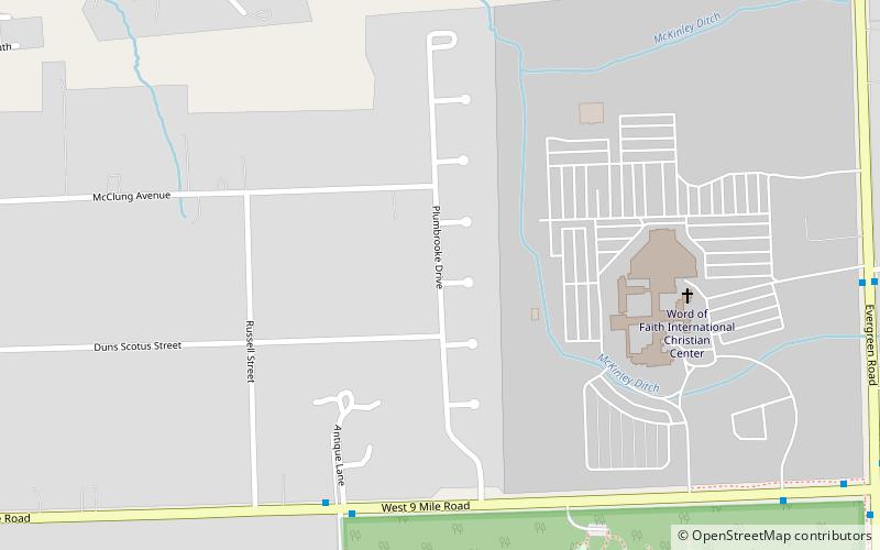
Plumbrooke Estates, auch bekannt als Plum Hollow Estates, ist ein historischer Wohnbezirk entlang des Plumbrooke Drive nördlich der Nine Mile Road und westlich der Evergreen Road in Southfield, Michigan. Es wurde 2019 in das National Register of Historic Places aufgenommen.

Koordinaten: 42°27'41"N, 83°14'54"W
Adresse

SouthfieldSouthfield Vereinigte Staaten

KontaktHinzufügen
Soziale Medien
Hinzufügen
Tagesausflüge

Plumbrooke Estates – beliebt in der gegend (entfernung vom objekt)

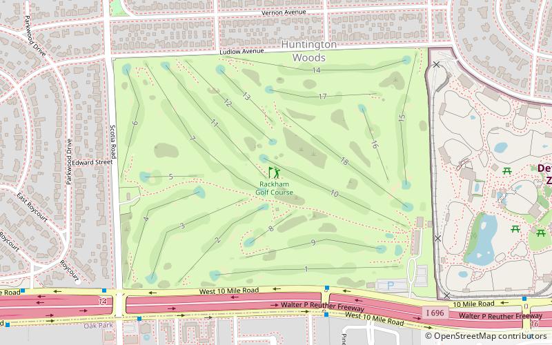
In der Nähe befinden sich unter anderem Attraktionen wie: Detroit Zoo, National Shrine of the Little Flower Basilica, Redford Theatre, Rackham Golf Course.

  • detroit zoo4.8 miE
  • national shrine of the little flower basilica royal oak4.9 miNE
  • redford theatre detroit3.1 miS
  • rackham golf course royal oak location map
    4.3 miE
  • horace h rackham memorial fountain royal oak4.8 miE
  • park west gallery southfield location map
    4.5 miNW
  • congregation shaarey zedek southfield2.3 miNW
  • mother of god cathedral southfield location map
    1.9 miNW
  • nardin park united methodist church farmington hills5 miW
  • southfield public library1.5 miN
  • holy sepulchre cemetery southfield location map
    2.7 miW

Wohin als nächstes? Gehen Sie auf die Seite der Region michigan Michigan oder sehen Sie sich alle Orte und Sehenswürdigkeiten in den Vereinigten Staaten an.