Playground Seventy-Five, New York City
Fakten und Informationen
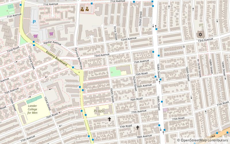
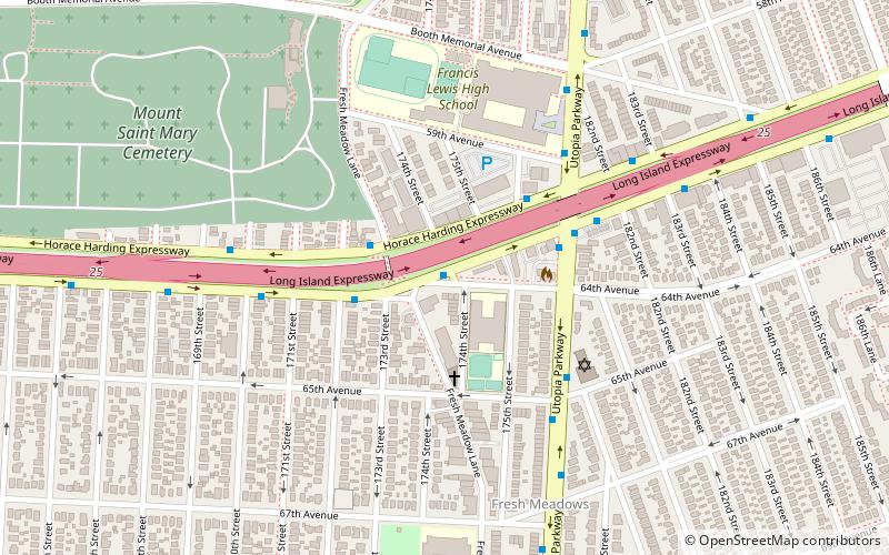
Der Spielplatz Seventy Five ist ein öffentlicher Park an der 160th Street und 75th Avenue im Stadtteil Hillcrest in Queens, New York. Er wurde 1929 von der New Yorker Stadtverwaltung im Rahmen von Grundstücksabtretungen für den Bau der Public School 154 erworben. Der unbebaute Teil des Blocks wurde als Schulhof reserviert und 1954 zu einem Spielplatz ausgebaut.
Der Spielplatz wurde nach der 75th Avenue benannt, einer historischen Durchgangsstraße, die als Quarrelsome Lane bekannt ist und aus dem 19. Im Jahr 1911 wies der Präsident des Bezirks Queens, Maurice E. Connolly, das Topographische Büro des Bezirks an, ein nummeriertes Rastersystem zu entwerfen, um Straßenabschnitte in Queens zu verbinden und doppelte Namen zu vermeiden. Die Quarrelsome Lane wurde zur 75th Avenue und die nahe gelegene Black Stump Road, benannt nach den Baumstümpfen, die die Grenzen der Farmen markierten, zur 73rd Avenue.
Der Teil von Fresh Meadows, der diesen Spielplatz umgibt, war historisch als Flushing Suburban bekannt. Er wurde in den 1920er Jahren entwickelt und erlebte in den 1950er Jahren einen Zustrom von Afroamerikanern. Im Gegensatz zu vielen anderen Stadtvierteln, in denen sich die Rassenverhältnisse änderten, behielt Flushing Suburban seine Vielfalt in den folgenden Jahrzehnten bei. Nach der Erweiterung der Public School 154 im Jahr 1964 wurde der verbleibende Teil des Spielplatzes gemeinsam von Parks und dem Bildungsministerium betrieben.
Durch die Bemühungen der Flushing Suburban Civic Association beteiligten sich die Bewohner an der Bürgerrechtsbewegung, indem sie gegen Diskriminierung in Queens protestierten und gleichzeitig in den Süden reisten, um für die Registrierung der Wähler zu werben. Seit 1990 organisiert die Gruppe freiwillige Säuberungen des Spielplatzes 75 sowie Sportprogramme in Zusammenarbeit mit der P.S. 154 und anderen Schulen des Viertels.
Northeastern Queens (Kew Gardens Hills)New York City
- Metro
- Busse
 Metro
Metro
- Bestimmen Sie die RouteMain Street & 73rd Avenue 17 Min. Fußweg
- Bestimmen Sie die RouteMain Street & 78th Road 19 Min. Fußweg
- Bestimmen Sie die Route169th Street 35 Min. Fußweg
 MetroKarten
 Manhattan Bus
Playground Seventy-Five – beliebt in der gegend (entfernung vom objekt)
In der Nähe befinden sich unter anderem Attraktionen wie: Captain Tilly Park, Queens Borough Hall, Maple Grove Cemetery, Judge Moses Weinstein Playground.


Häufig gestellte Fragen (FAQ)
Welche beliebten Attraktionen gibt es in der Nähe?
Wie kommt man mit öffentlichen Verkehrsmitteln dorthin?
Busse
- Main Street & 73rd Avenue • Linien: Q44 Sbs (17 Min. Fußweg)
- Main Street & 78th Road • Linien: Q20B (19 Min. Fußweg)
Metro
- 169th Street • Linien: <F>, F (35 Min. Fußweg)