St. Joseph's House for Homeless Industrious Boys, Philadelphia
Karte

Karte

Fakten und Informationen
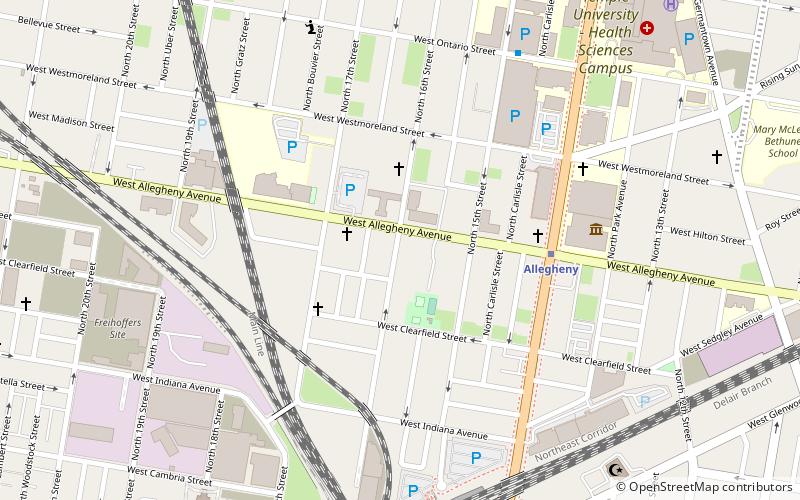
Das St. Joseph's House for Homeless Industrious Boys ist ein historisches Wohltätigkeitsgebäude in der 1511 und 1515-1527 West Allegheny Avenue im Stadtteil Nicetown-Tioga in Philadelphia, Pennsylvania.
Es wurde von dem Architekturbüro Hoffman-Henon aus Philadelphia entworfen und 1929 erbaut. Es wurde 1996 in das Nationale Register aufgenommen.
Architektonischer Stil: Wiederbelebung der RenaissanceKoordinaten: 40°0'6"N, 75°9'22"W
Adresse
Upper North Philadelphia (Glenwood)Philadelphia
KontaktHinzufügen
Soziale Medien
Hinzufügen
Tagesausflüge
St. Joseph's House for Homeless Industrious Boys – beliebt in der gegend (entfernung vom objekt)
In der Nähe befinden sich unter anderem Attraktionen wie: Simon Muhr Work Training School, Fair Hill Burial Ground, Church of the Advocate, Union Methodist Episcopal Church.
Häufig gestellte Fragen (FAQ)
Welche beliebten Attraktionen gibt es in der Nähe?
Zu den nahe gelegenen Attraktionen gehören. Simon Muhr Work Training School, Philadelphia (10 Min. Fußweg), Fair Hill Burial Ground, Philadelphia (16 Min. Fußweg), North Central, Philadelphia (18 Min. Fußweg), Swampoodle, Philadelphia (19 Min. Fußweg).
Wie kommt man mit öffentlichen Verkehrsmitteln dorthin?
Bahnhöfe und Haltestellen in der Umgebung von St. Joseph's House for Homeless Industrious Boys:
Metro
Bahn
Metro
- Allegheny • Linien: Bsl (5 Min. Fußweg)
- North Philadelphia • Linien: Bsl (13 Min. Fußweg)
Bahn
- North Philadelphia Station (9 Min. Fußweg)
- Allegheny (14 Min. Fußweg)

 SEPTA-Regionalbahn


