Park Naylor, Suitland
Karte
Fakten und Informationen
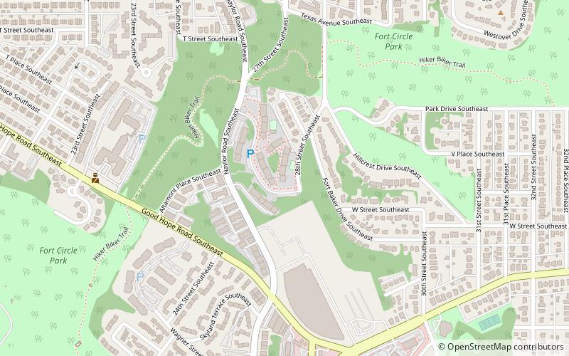
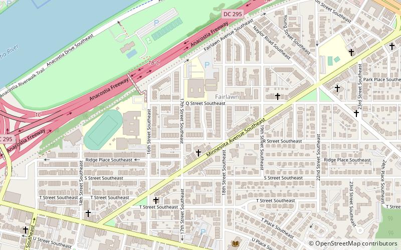
Park Naylor ist ein Wohnviertel im Südosten von Washington, D.C. Es hat seinen Namen von seinen nördlichen und östlichen Grenzen, der Naylor Road und dem Fort Stanton Park. Die anderen Grenzen von Park Naylor sind die Minnesota Avenue im Westen und die Good Hope Road SE im Süden. Siehe auch den Artikel über Anacostia.
Koordinaten: 38°51'50"N, 76°58'8"W
Adresse
Southeast Washington (Hillcrest - Fairfax Village)Suitland
KontaktHinzufügen
Soziale Medien
Hinzufügen
Zugang mit öffentlichen Verkehrsmitteln
Haltestellen der öffentlichen Verkehrsmittel in der Nähe des Standorts
- Metro
- Busse
 Metro
Metro
- Bestimmen Sie die RouteNaylor Road 29 Min. Fußweg
- Bestimmen Sie die RouteNaylor Rd Station & Bus Bay B 29 Min. Fußweg
- Bestimmen Sie die RouteNaylor Rd Station & Bus Bay D 30 Min. Fußweg
- Bestimmen Sie die RouteNaylor Rd Station & Bus Bay E 30 Min. Fußweg
- Bestimmen Sie die RouteF 30 Min. Fußweg
Tagesausflüge
Park Naylor – beliebt in der gegend (entfernung vom objekt)
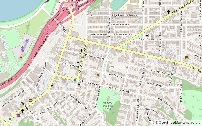
In der Nähe befinden sich unter anderem Attraktionen wie: Anacostia Museum, Anacostia Arts Center, Anacostia Neighborhood Library, Public Vault at the Congressional Cemetery.


Häufig gestellte Fragen (FAQ)
Welche beliebten Attraktionen gibt es in der Nähe?
Zu den nahe gelegenen Attraktionen gehören. Good Hope, Suitland (6 Min. Fußweg), Skyland, Suitland (8 Min. Fußweg), Randle Highlands, Suitland (12 Min. Fußweg), Anacostia Neighborhood Library, Washington, D.C. (14 Min. Fußweg).
Wie kommt man mit öffentlichen Verkehrsmitteln dorthin?
Bahnhöfe und Haltestellen in der Umgebung von Park Naylor:
Metro
Busse
Metro
- Naylor Road • Linien: Gr (29 Min. Fußweg)
Busse
- Naylor Rd Station & Bus Bay B • Linien: F14 (29 Min. Fußweg)
- Naylor Rd Station & Bus Bay D • Linien: H11, H12, H13 (30 Min. Fußweg)