Trek Zone

Stoppel Point

Nr. 1659 in der Beliebtheitsskala in den Vereinigten Staaten

Berg
Stoppel Point location map
Karte

Fakten und Informationen

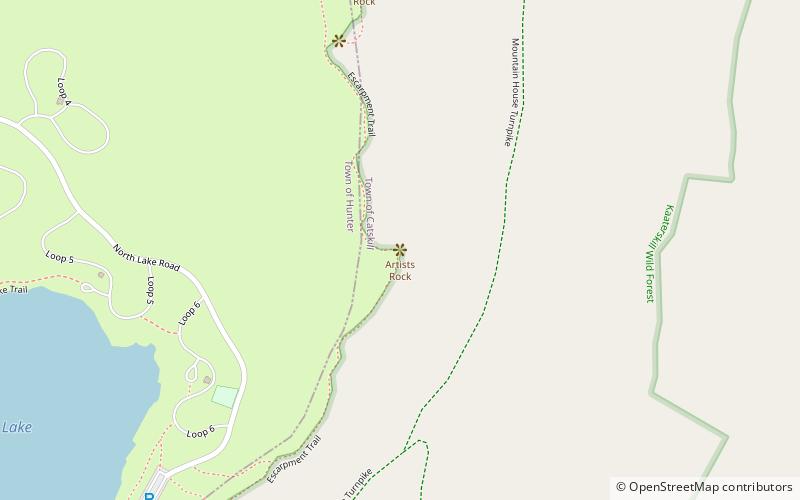
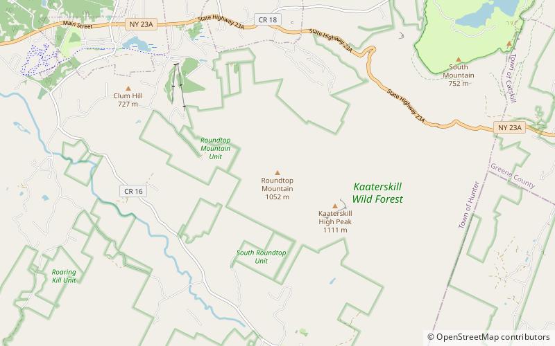
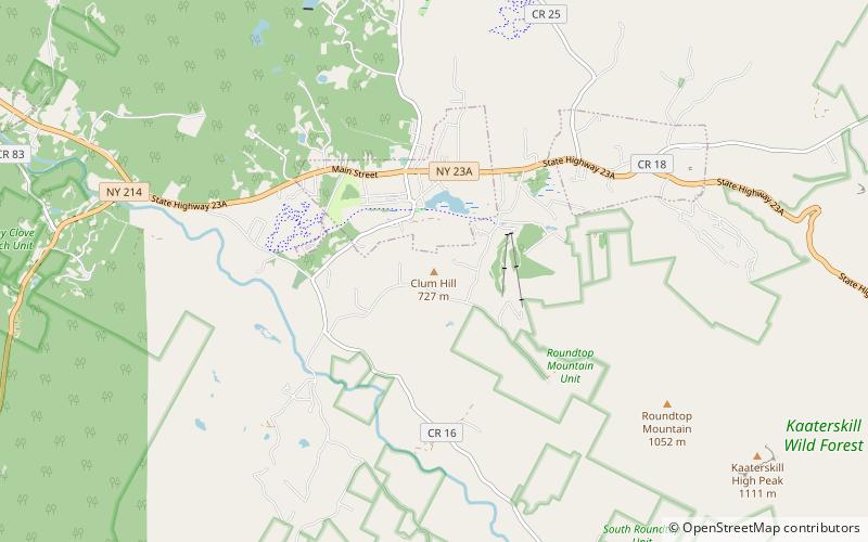
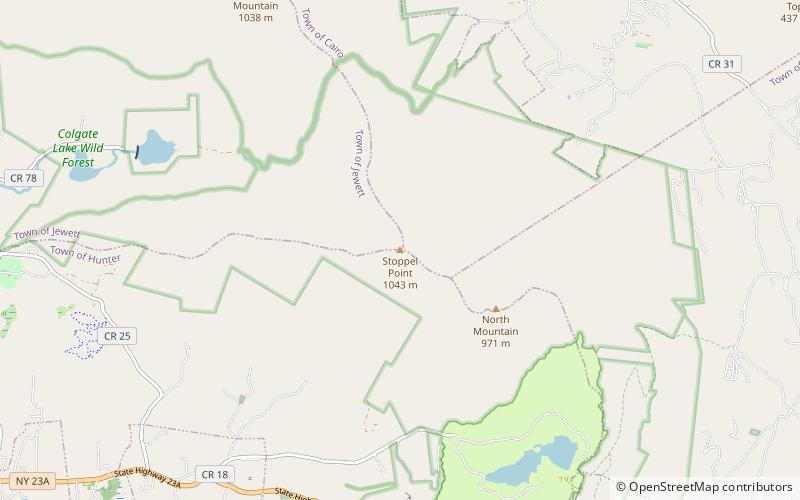
Stoppel Point ist ein Berg im Greene County, New York, nordöstlich von Haines Falls, New York. Im Südosten befindet sich der North Mountain. Stoppel Point entwässert im Osten in den Winter Clove, im Norden in den Countryman Kill und East Kill, und an der Ostseite entspringt der Kaaterskill Creek.

Koordinaten: 42°13'30"N, 74°3'55"W
Lokalisierung

New YorkVereinigte Staaten

KontaktHinzufügen
Soziale Medien
Hinzufügen
Tagesausflüge

Stoppel Point – beliebt in der gegend (entfernung vom objekt)

In der Nähe befinden sich unter anderem Attraktionen wie: Kaaterskill Falls, North–South Lake, Artists Rock, Frank D. Layman Memorial.

  • kaaterskill falls hunter2.2 miS
  • north south lake catskill park2.3 miSE
  • artists rock location map
    2.4 miSE
  • frank d layman memorial catskill park2.5 miS
  • blackhead catskill park3.6 miNW
  • north mountain catskill park1 miSE
  • thomas cole mountain catskill park4.8 miNW
  • black dome catskill park4.3 miNW
  • kaaterskill high peak catskill park4.4 miS
  • roundtop mountain location map
    4.2 miS
  • clum hill catskill park location map
    4.4 miSW

Wohin als nächstes? Gehen Sie auf die Seite der Region new york New York oder sehen Sie sich alle Orte und Sehenswürdigkeiten in den Vereinigten Staaten an.