Trek Zone

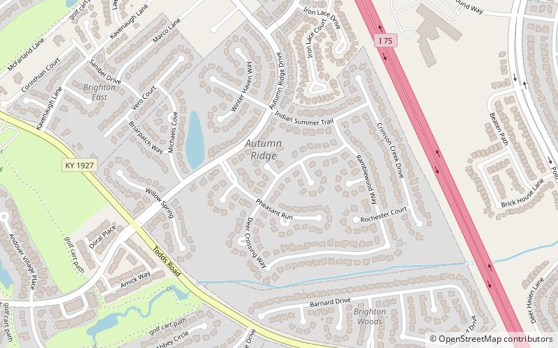
Autumn Ridge, Lexington

Nr. 100 unter den Attraktionen in Lexington

Nachbarschaft
Autumn Ridge location map
Karte

Fakten und Informationen

Autumn Ridge ist ein Stadtteil im Südosten von Lexington, Kentucky, Vereinigte Staaten. Es wird begrenzt durch die I-75 im Osten, den Barnard Drive im Süden, die Todds Road im Westen und den Vero Court im Norden.

Koordinaten: 38°0'5"N, 84°24'19"W
Adresse

Boone CreekLexington Vereinigte Staaten

KontaktHinzufügen
Soziale Medien
Hinzufügen
Tagesausflüge

Autumn Ridge – beliebt in der gegend (entfernung vom objekt)

In der Nähe befinden sich unter anderem Attraktionen wie: Hamburg Pavilion, Ashland, Boone Station State Historic Site, Cathedral of Christ the King.

  • hamburg pavilion lexington location map
    1.6 miNW
  • ashland lexington4.5 miNW
  • boone station state historic site lexington4.3 miSE
  • cathedral of christ the king lexington4.7 miW
  • the salon at henry clay lexington4.1 miNW
  • walnut hill presbyterian church lexington location map
    2.5 miSW
  • bell court lexington5.1 miNW
  • andover hills lexington location map
    0.6 miSW
  • andover forest lexington location map
    0.7 miNW
  • kenwick lexington location map
    4.3 miNW
  • liberty heights lexington location map
    4.1 miNW

Häufig gestellte Fragen (FAQ)

Welche beliebten Attraktionen gibt es in der Nähe?

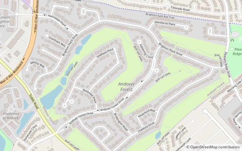
Zu den nahe gelegenen Attraktionen gehören. Andover Hills, Lexington (16 Min. Fußweg), Andover Forest, Lexington (19 Min. Fußweg).

Wohin als nächstes? Gehen Sie auf die Seite der Region kentucky Kentucky oder sehen Sie sich alle Orte und Sehenswürdigkeiten in den Vereinigten Staaten an.