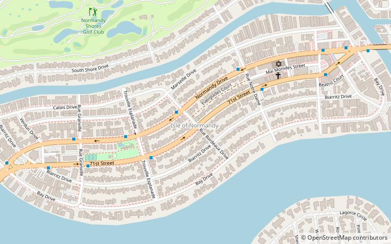
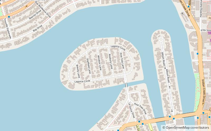
Isle of Normandy, Miami Beach
Karte
Fakten und Informationen
Isle of Normandy oder Normandy Island oder Normandy Isles oder Normandy Isle ist ein Stadtteil von North Beach in der Stadt Miami Beach, Florida, Vereinigte Staaten. Es liegt am Ostufer der Biscayne Bay.
Koordinaten: 25°51'11"N, 80°8'6"W
Adresse
North Beach (Isle of Normandy)Miami Beach
KontaktHinzufügen
Soziale Medien
Hinzufügen
Zugang mit öffentlichen Verkehrsmitteln
Haltestellen der öffentlichen Verkehrsmittel in der Nähe des Standorts
- Busse
 Busse
Busse
- Bestimmen Sie die Route71st Street @ Rue Bordeaux Drive 1 Min. Fußweg
- Bestimmen Sie die RouteNormandy Drive @ Rue Notre Dame 5 Min. Fußweg
Tagesausflüge


Häufig gestellte Fragen (FAQ)
Welche beliebten Attraktionen gibt es in der Nähe?
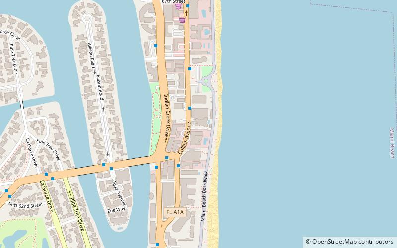
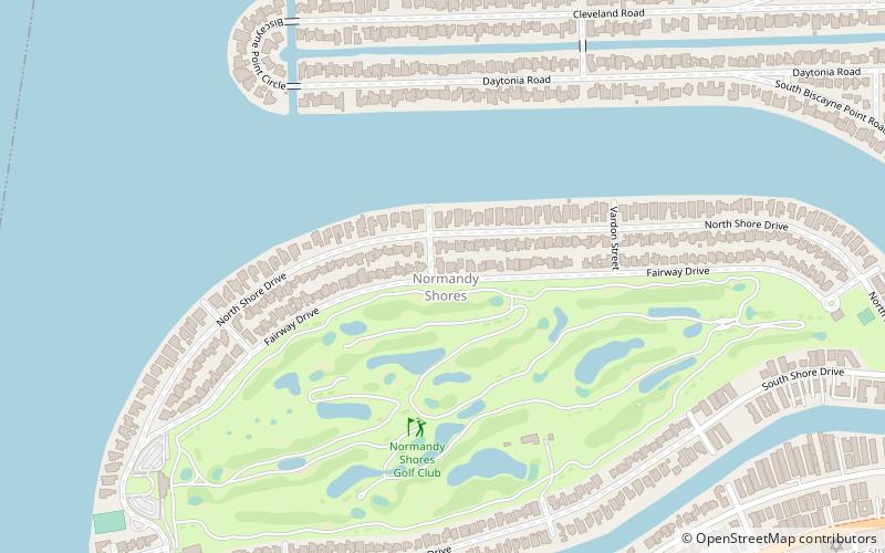
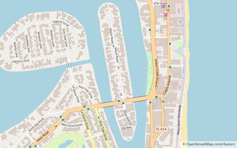
Zu den nahe gelegenen Attraktionen gehören. La Gorce Island, Miami Beach (13 Min. Fußweg), Normandy Shores, Miami Beach (14 Min. Fußweg), North Beach, Miami Beach (16 Min. Fußweg), Normandy Shores Golf Club, Miami Beach (16 Min. Fußweg).
Wie kommt man mit öffentlichen Verkehrsmitteln dorthin?
Bahnhöfe und Haltestellen in der Umgebung von Isle of Normandy:
Busse
Busse
- 71st Street @ Rue Bordeaux Drive • Linien: 112 (1 Min. Fußweg)
- Normandy Drive @ Rue Notre Dame • Linien: 112 (5 Min. Fußweg)