National Grove of State Trees, Mount Rainier

Fakten und Informationen
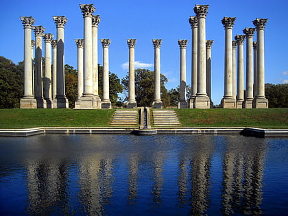
Das United States National Arboretum ist ein Arboretum im Nordosten von Washington, D.C. das vom Agricultural Research Service des Landwirtschaftsministeriums der Vereinigten Staaten betrieben wird. Es wurde 1927 durch ein Gesetz des Kongresses nach einer Kampagne des Chefbotanikers des USDA, Frederick Vernon Coville, gegründet.
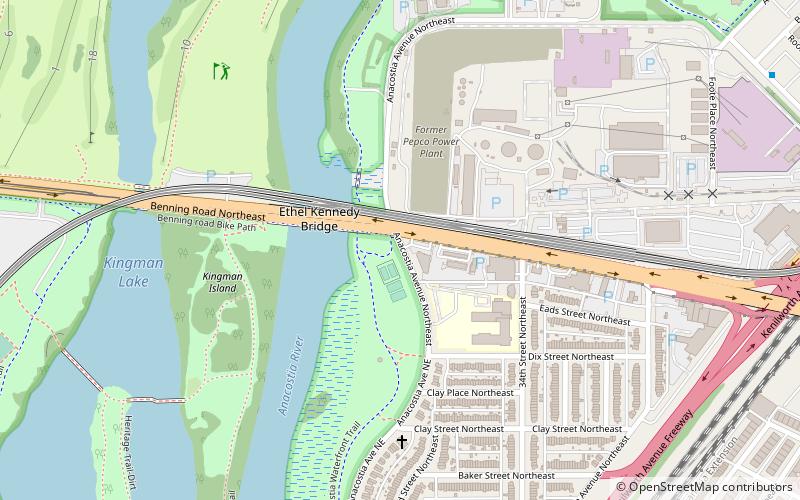
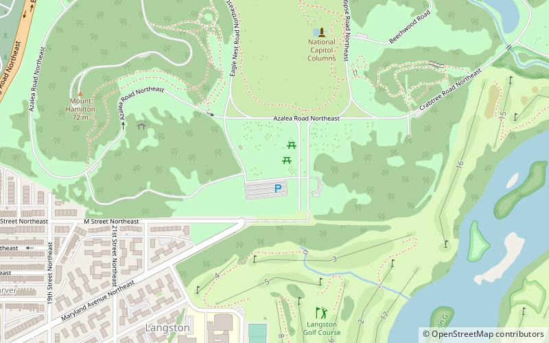
Er ist 446 Acres groß und liegt 3,5 km nordöstlich des Capitol-Gebäudes, mit Eingängen an der New York Avenue, NE und der R Street, NE. Die Gärten, Sammlungen und Einrichtungen des Campus sind durch Straßen verbunden, die insgesamt 9,5 Meilen lang sind. Neben dem Hauptcampus in Washington, D.C. gibt es Forschungsstandorte im Henry A. Wallace Beltsville Agricultural Research Center in Beltsville, Maryland und in McMinville, Tennessee.
Das Arboretum fungiert als wichtiges Zentrum für die botanische Forschung des USDA, einschließlich der angewandten Forschung an Bäumen, Sträuchern, Rasen und der Entwicklung neuer Zierpflanzen. Neben einer Bibliothek und einer historischen Sammlung verfügt die Einrichtung auch über ein umfangreiches Herbarium mit über 800.000 Exemplaren, das die Vielfalt der Wild- und Kulturpflanzen dokumentiert.
Northeast Washington (National Arboretum)Mount Rainier
National Grove of State Trees – beliebt in der gegend (entfernung vom objekt)
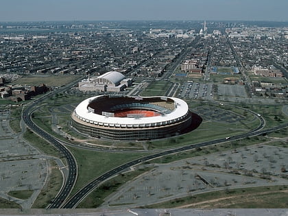
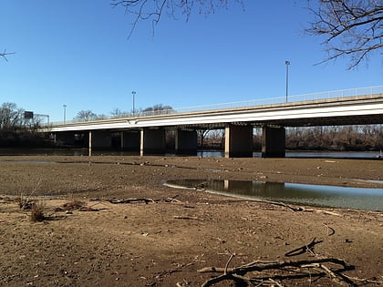
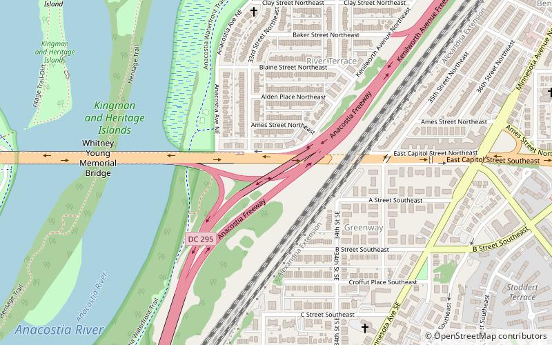
In der Nähe befinden sich unter anderem Attraktionen wie: Robert F. Kennedy Memorial Stadium, United States National Arboretum, Whitney Young Memorial Bridge, District of Columbia Route 295.
