Trek Zone

Palomar Hills, Lexington

Nr. 141 unter den Attraktionen in Lexington

Nachbarschaft
Palomar Hills location map
Karte

Fakten und Informationen

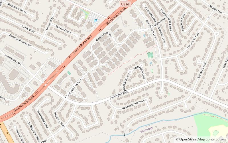
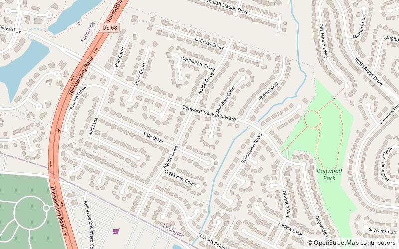
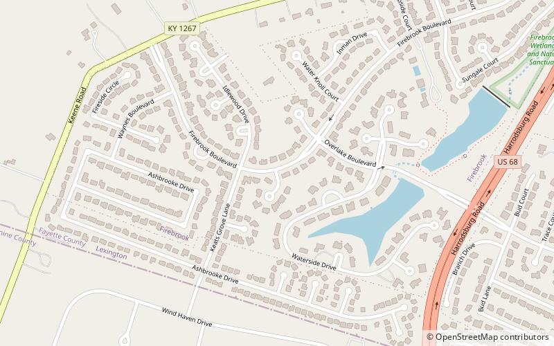
Palomar Hills ist ein Stadtviertel im Südwesten von Lexington, Kentucky, Vereinigte Staaten. Es wird im Osten von der Harrodsburg Road, im Norden vom Man o' War Boulevard, im Süden von der Bowman Mill Road und im Westen von der Lexington Urban Growth Boundary begrenzt.

Oberfläche: 208 acres (0.325 mi²)Koordinaten: 38°0'11"N, 84°34'52"W
Adresse

PalomarLexington Vereinigte Staaten

KontaktHinzufügen
Soziale Medien
Hinzufügen
Tagesausflüge

Palomar Hills – beliebt in der gegend (entfernung vom objekt)

In der Nähe befinden sich unter anderem Attraktionen wie: MoonDance Amphitheater, Harrods Hill, Clemens Heights, Wyndam Downs.

  • moondance amphitheater lexington1.6 miNE
  • harrods hill lexington location map
    1.1 miNE
  • clemens heights lexington location map
    1 miS
  • wyndam downs lexington location map
    1.2 miSE
  • rabbit run lexington location map
    1 miE
  • dogwood trace lexington location map
    1.1 miS
  • firebrook lexington location map
    1.2 miSW

Wohin als nächstes? Gehen Sie auf die Seite der Region kentucky Kentucky oder sehen Sie sich alle Orte und Sehenswürdigkeiten in den Vereinigten Staaten an.