City of Ventura Historic Landmarks and Districts, Ventura County
Fakten und Informationen
Die City of Ventura Historic Landmarks and Districts bestehen aus Gebäuden, Stätten und Vierteln, die von der Stadt Ventura, Kalifornien, als historische Wahrzeichen und Bezirke ausgewiesen wurden.
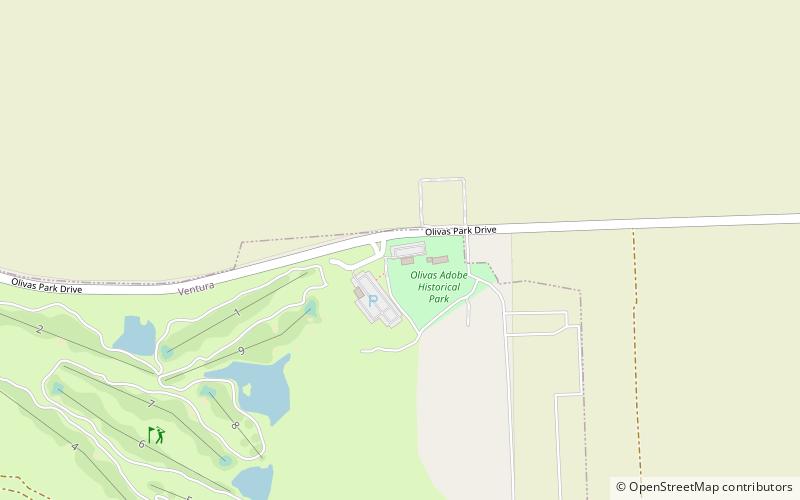
Die ersten sechs Standorte, die als Ventura Historic Landmarks ausgewiesen wurden, wurden im Februar 1974 ausgewählt. Es handelt sich um die Olivas Adobe, die Ortega Adobe, die Pater-Serra-Statue, das Rathaus von Ventura, das Kreuz im Grant Park und die archäologische Stätte Mission Plaza. Im Juli 1974 wies die Stadt auch eine zweite Gruppe von Wahrzeichen aus, darunter die Conklin-Residenz, die Mission San Buenaventura, die Norfolk-Kiefern der Mission und zwei große Moreton Bay-Feigenbäume in Stadtparks.
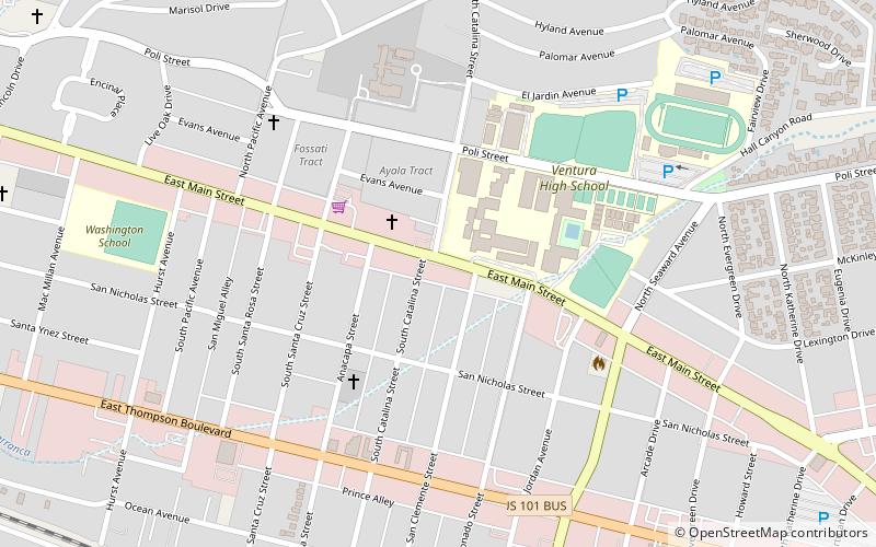
Mit Stand vom 10. April 2018 hatte die Stadt 111 Orte als historische Wahrzeichen von Ventura und fünf Gebiete als historische Bezirke von Ventura ausgewiesen. Der erste von der Stadt ausgewiesene historische Bezirk war der Mission Historic District, der sich von der Poli Street an der Nordgrenze bis zur Santa Clara Street an der Südgrenze und von der Ventura Avenue im Westen bis zur Palm Street im Osten erstreckt. Der Mission Historic District besteht aus dem ältesten Teil des Stadtzentrums und umfasst mehr als zehn historische Wahrzeichen, darunter die Mission, die archäologische Stätte Mission Plaza, die Norfolk-Kiefern der Mission, den Moreton Bay-Feigenbaum der Mission Plaza, den Peirano Store, das Carlo Hahn House, die Mission Lavanderia und die China Alley.
Eine Karte mit den ausgewiesenen historischen Sehenswürdigkeiten und Bezirken von Ventura kann durch Anklicken von "OpenStreetMap" oder "Google Maps" in der Vorlage rechts unten angezeigt werden.
OlivasVentura County
City of Ventura Historic Landmarks and Districts – beliebt in der gegend (entfernung vom objekt)
In der Nähe befinden sich unter anderem Attraktionen wie: Century RiverPark 16, Pacific View Mall, Serra Cross, Ventura Botanical Gardens.