Trek Zone

Sunset Lawn Chapel of the Chimes, Sacramento
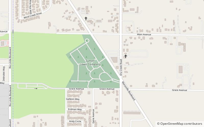
Nr. 87 unter den Attraktionen in Sacramento

Friedhof
Sunset Lawn Chapel of the Chimes location map
Karte

Fakten und Informationen

Die Sunset Lawn Chapel of the Chimes ist ein Friedhofs- und Bestattungskomplex in Sacramento, Kalifornien. Er wurde 1938 eröffnet.

Koordinaten: 38°39'10"N, 121°26'24"W
Adresse

North Sacramento (Robla)Sacramento Vereinigte Staaten

KontaktHinzufügen
Soziale Medien
Hinzufügen
Tagesausflüge

Sunset Lawn Chapel of the Chimes – beliebt in der gegend (entfernung vom objekt)

In der Nähe befinden sich unter anderem Attraktionen wie: Jedediah Smith Memorial Trail, Raging Waters Sacramento, Arden Fair Mall, Scandia Family Fun Center.

  • jedediah smith memorial trail sacramento4.6 miSW
  • raging waters sacramento4.3 miS
  • arden fair mall sacramento3.7 miS
  • scandia family fun center sacramento4.1 miE
  • b street theatre sacramento location map
    5 miS
  • jibboom street bridge sacramento5.1 miSW
  • bushy lake sacramento location map
    4.4 miS
  • haggin oaks golf complex sacramento2.4 miSE
  • sacramento public library location map
    3.1 miSE
  • auburn boulevard sacramento location map
    4 miE
  • bohemian park sacramento2.7 miSE

Wohin als nächstes? Gehen Sie auf die Seite der Region kalifornien Kalifornien oder sehen Sie sich alle Orte und Sehenswürdigkeiten in den Vereinigten Staaten an.