Blue Hills, Kansas City
Karte
Fakten und Informationen
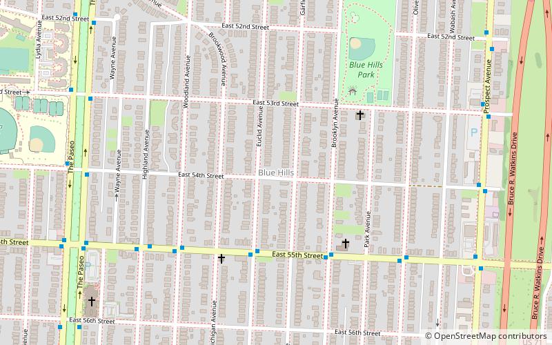
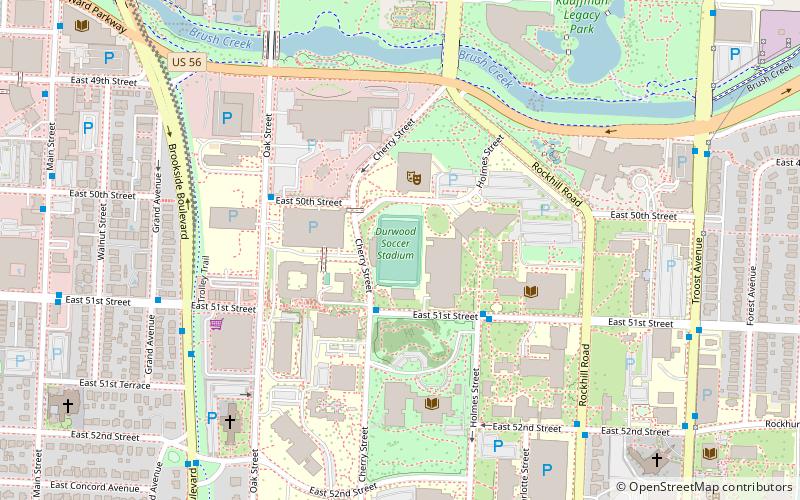
Blue Hills ist ein Viertel im Südosten von Kansas City, Missouri, das im Norden durch den Swope Parkway, im Süden durch die 63rd Street, im Osten durch die Prospect Ave und im Westen durch The Paseo begrenzt wird. Die Postleitzahl für dieses Viertel ist 64110 und 64130.
Koordinaten: 39°1'43"N, 94°33'41"W
Adresse
South Side (Blue Hills)Kansas City
KontaktHinzufügen
Soziale Medien
Hinzufügen
Zugang mit öffentlichen Verkehrsmitteln
Haltestellen der öffentlichen Verkehrsmittel in der Nähe des Standorts
- Busse
 Busse
Busse
- Bestimmen Sie die Route55th at Euclid 4 Min. Fußweg
Tagesausflüge
Blue Hills – beliebt in der gegend (entfernung vom objekt)
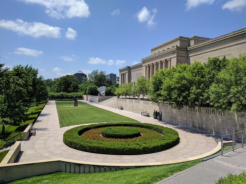
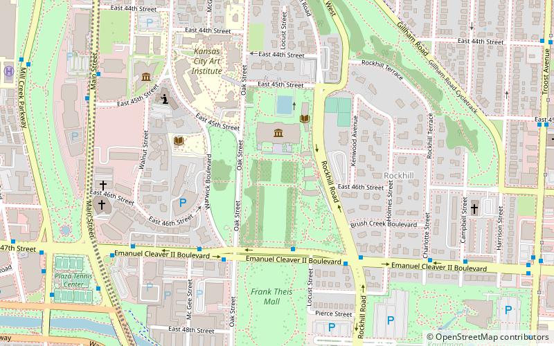
In der Nähe befinden sich unter anderem Attraktionen wie: Nelson-Atkins Museum of Art, Ewing and Muriel Kauffman Memorial Garden, The National Museum of Toys and Miniatures, Landing.


Häufig gestellte Fragen (FAQ)
Wie kommt man mit öffentlichen Verkehrsmitteln dorthin?
Bahnhöfe und Haltestellen in der Umgebung von Blue Hills:
Busse
Busse
- 55th at Euclid • Linien: 55 (4 Min. Fußweg)