Trek Zone

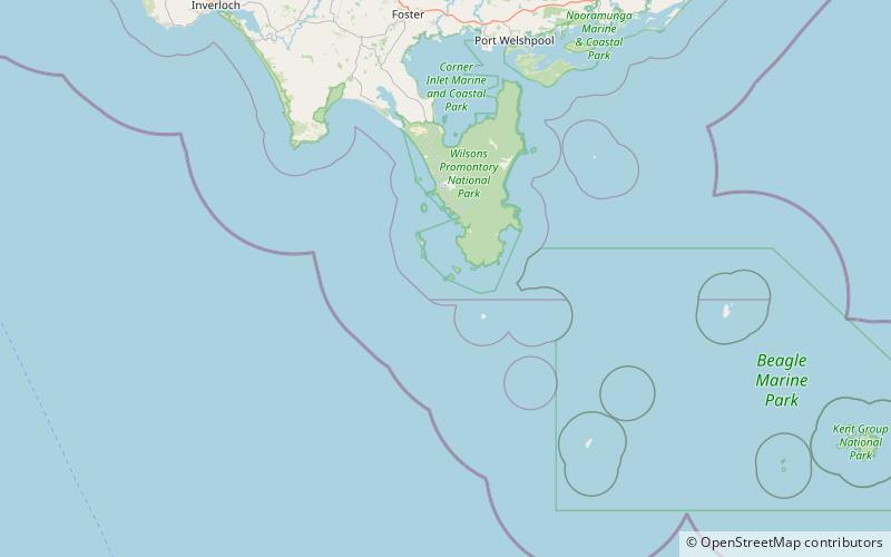
Anser Island, Wilsons Promontory

Nr. 5 unter den Attraktionen in Wilsons Promontory

Insel
Anser Island location map
Karte

Fakten und Informationen
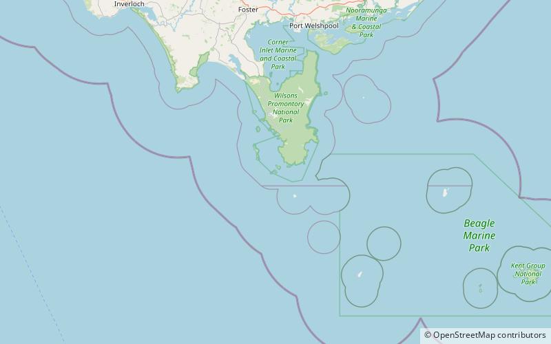
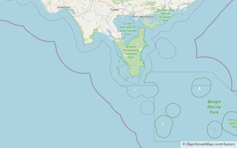
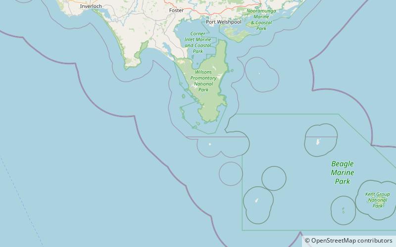
Andere Namen: Oberfläche: 182.86 acres (0.2857 mi²)Maximale Höhe: 499 ftKoordinaten: 39°8'27"S, 146°19'19"E
Adresse

Wilsons Promontory Australien

KontaktHinzufügen
Soziale Medien
Hinzufügen
Tagesausflüge

Anser Island – beliebt in der gegend (entfernung vom objekt)

In der Nähe befinden sich unter anderem Attraktionen wie: Wilsons Promontory Lighthouse, Cleft Island, Wattle Island, Dannevig Island.

  • wilsons promontory lighthouse5.5 miE
  • cleft island wilsons promontory nationalpark location map
    1.9 miSW
  • wattle island wilsons promontory nationalpark location map
    2.1 miE
  • dannevig island wilsons promontory nationalpark location map
    5.1 miNW
  • mchugh island wilsons promontory nationalpark location map
    4.6 miW
  • citadel island wilsons promontory4.8 miW
  • kanowna island wilsons promontory location map
    1.1 miSW
  • citadel island lighthouse wilsons promontory location map
    4.9 miW

Wohin als nächstes? Gehen Sie auf die Seite der Region victoria Victoria oder sehen Sie sich alle Orte und Sehenswürdigkeiten in Australien an.