Trek Zone

Wattle Island, Wilsons-Promontory-Nationalpark

Nr. 3 unter den Attraktionen in Wilsons-Promontory-Nationalpark

Bereich
Wattle Island location map
Karte

Fakten und Informationen

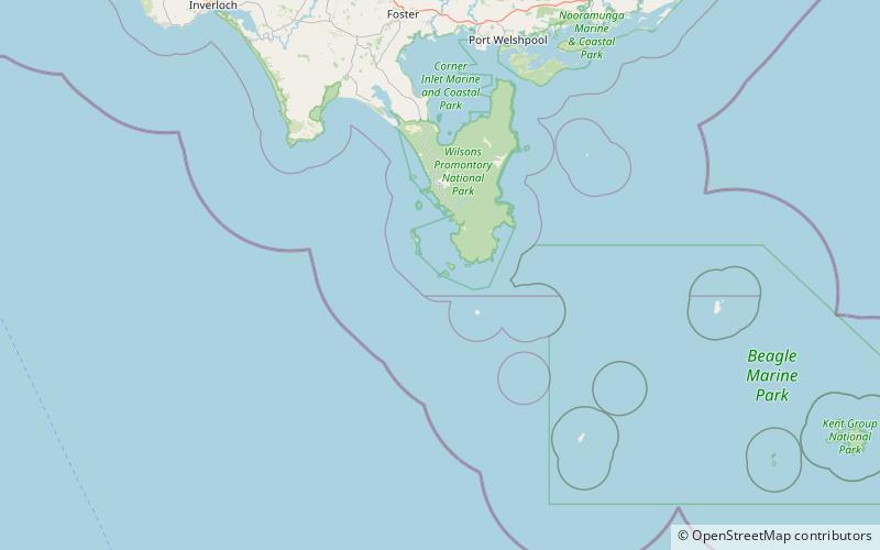
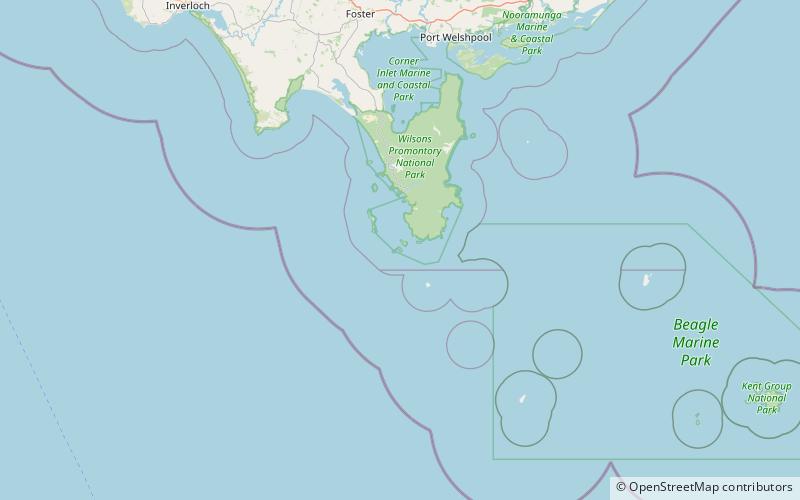
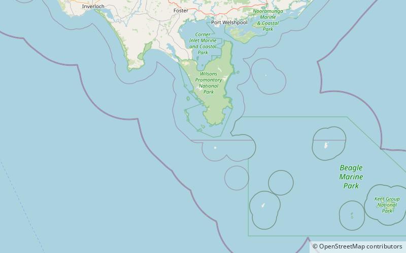
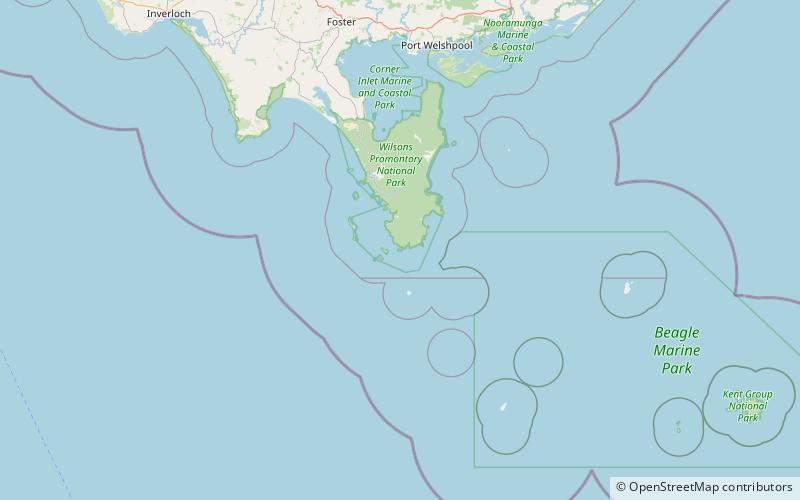
Wattle Island ist eine kleine Granitinsel, die etwa 0,5 Kilometer südlich von Wilsons Promontory in Victoria, Australien, liegt.

Die Insel liegt im Wilsons Promontory National Park. Die umliegenden Gewässer bis zur mittleren Hochwassermarke liegen im Wilsons Promontory Marine National Park. Sie ist Teil des Wilsons Promontory Islands Important Bird Area, das von BirdLife International wegen seiner Bedeutung für brütende Seevögel als solches ausgewiesen wurde.

Koordinaten: 39°8'21"S, 146°21'41"E
Adresse

Wilsons-Promontory-Nationalpark Australien

KontaktHinzufügen
Soziale Medien
Hinzufügen
Tagesausflüge

Wattle Island – beliebt in der gegend (entfernung vom objekt)

In der Nähe befinden sich unter anderem Attraktionen wie: Wilsons Promontory Lighthouse, Cleft Island, Kanowna Island, Anser Island.

  • wilsons promontory lighthouse3.4 miE
  • cleft island wilsons promontory nationalpark location map
    3.8 miW
  • kanowna island wilsons promontory location map
    2.9 miW
  • anser island wilsons promontory location map
    2.1 miW

Wohin als nächstes? Gehen Sie auf die Seite der Region victoria Victoria oder sehen Sie sich alle Orte und Sehenswürdigkeiten in Australien an.