Trek Zone

Lake Nokoué, Cotonou

Nr. 4 unter den Attraktionen in Cotonou

Natur, See, Top-Attraktion
Lake Nokoué

Fakten und Informationen

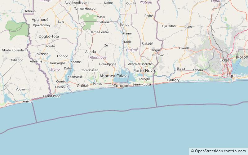
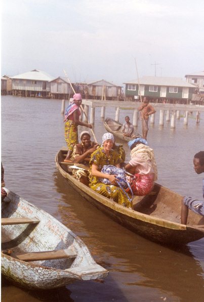
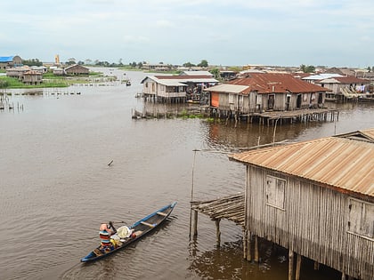
Der Nokoué-See ist ein See im Süden von Benin. Er ist 20 km breit und 11 km lang und umfasst eine Fläche von 4 900 ha. Der See wird teilweise von den Flüssen Ouémé und Sô gespeist, die beide Sedimente aus der gesamten Region im See ablagern.

Die Stadt Cotonou liegt an der südlichen Grenze des Sees. Ein Teil der Bevölkerung von Cotonou wurde durch die Überschwemmungen an der Küste und im See vertrieben. Am Nordufer des Sees liegt die Stadt Ganvié.

Lokaler Name: Lac Nokoué Länge: 12.43 miBreite: 6.84 miHöhe: 0 ft ü. d. M.Koordinaten: 6°26'18"N, 2°26'49"E
Adresse

Cotonou Benin

KontaktHinzufügen
Soziale Medien
Hinzufügen
Tagesausflüge

Lake Nokoué – beliebt in der gegend (entfernung vom objekt)

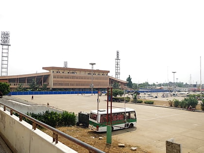
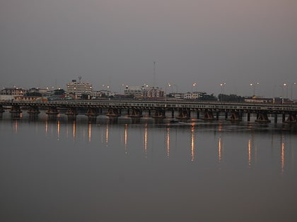
In der Nähe befinden sich unter anderem Attraktionen wie: Dantokpa Market, Stade de l’Amitié, Ancien Pont, Cotonou Central Mosque.
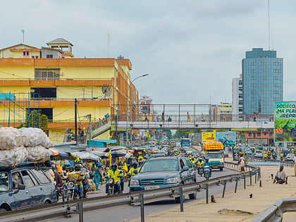
  • dantokpa market cotonou4.7 miS
  • stade de lamitie cotonou5.9 miSW
  • ancien pont cotonou5.5 miS
  • cotonou central mosque location map
    6.3 miSW
  • 10th arrondissement of the littoral department cotonou location map
    5 miS
  • 2nd arrondissement of the littoral department cotonou location map
    4.9 miS
  • 13th arrondissement of the littoral department cotonou location map
    4.9 miS
  • 7th arrondissement of the littoral department cotonou location map
    4.9 miS
  • 5th arrondissement of the littoral department cotonou location map
    4.9 miS
  • 8th arrondissement of the littoral department cotonou location map
    4.9 miS
  • 1st arrondissement of the littoral department cotonou location map
    4.9 miS

Wohin als nächstes? Gehen Sie auf die Seite der Region atlantique Atlantique oder sehen Sie sich alle Orte und Sehenswürdigkeiten in Benin an.

BeninAliboriAtakoraAtlantiqueBorgouCollinesDongaKouffoLittoralMonoOuéméPlateauZou