Trek Zone

Ngatangiia, Rarotonga
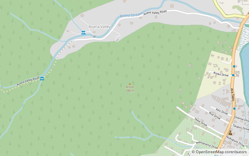
Nr. 4 unter den Attraktionen in Rarotonga

Nachbarschaft
Ngatangiia location map
Karte

Fakten und Informationen

Ngatangiia ist einer der fünf Bezirke, aus denen die Insel Rarotonga auf den Cookinseln besteht. Er liegt im Osten der Insel, südlich der Distrikte Matavera und Avarua und nordöstlich des Distrikts Titikaveka.

Koordinaten: 21°15'1"S, 159°44'16"W
AdresseHinzufügen
KontaktHinzufügen
Soziale Medien
Hinzufügen
Tagesausflüge

Ngatangiia – beliebt in der gegend (entfernung vom objekt)

In der Nähe befinden sich unter anderem Attraktionen wie: Te Rua Manga, Ikurangi, St. Joseph's Cathedral, Marae Moana.

  • te rua manga rarotonga3.4 miW
  • ikurangi rarotonga2.5 miNW
  • st josephs cathedral avarua location map
    4.2 miNW
  • marae moana rarotonga2.2 miNW
  • national library of the cook islands avarua location map
    3.6 miNW
  • avarua national stadium location map
    5.4 miNW
  • nukutere college avarua location map
    4 miNW
  • matavera rarotonga location map
    1.7 miN
  • takamoa theological college avarua location map
    3.6 miNW
  • te manga rarotonga1.7 miNW

Wohin als nächstes? Alle Sehenswürdigkeiten und Attraktionen auf den Cookinseln anzeigen.