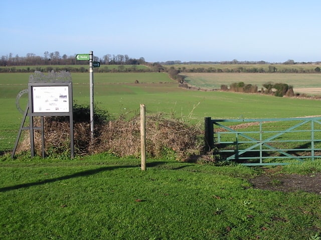
Upper Mill, Eastry

Galerie (1)
Karte
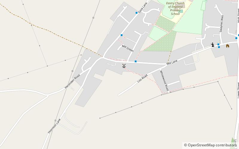
Karte
Fakten und Informationen
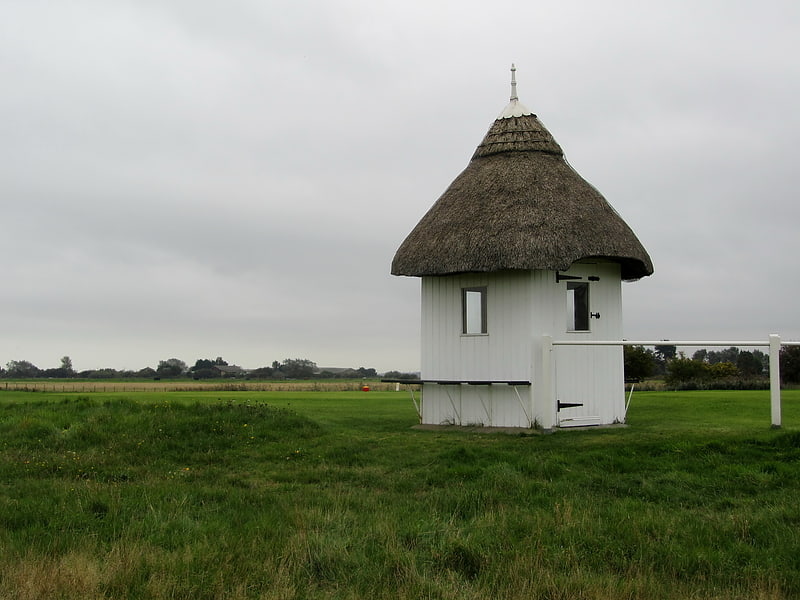
Upper Mill ist ein denkmalgeschütztes Haus und eine umgebaute Kittelmühle in Eastry, Kent, England. Sie wurde in der Mitte des achtzehnten Jahrhunderts erbaut.
Gebaut: 1740 (vor 286 Jahren)Koordinaten: 51°14'36"N, 1°17'57"E
Adresse
Eastry
KontaktHinzufügen
Soziale Medien
Hinzufügen
Tagesausflüge