Delamont Country Park

Galerie (1)
Karte
Karte
Fakten und Informationen
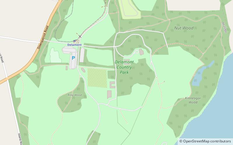
Der Delamont Country Park liegt an den Ufern des Strangford Lough in der Grafschaft Down, Nordirland. Er erstreckt sich über eine Fläche von etwa 200 Acres 2 km südlich von Killyleagh. Er wird derzeit vom Newry, Mourne and Down District Council verwaltet, nachdem er zuvor unter der Kontrolle des Down District Council stand.
Höhe: 135 ft ü. d. M.Koordinaten: 54°22'53"N, 5°40'26"W
Lokalisierung
Nordirland
KontaktHinzufügen
Soziale Medien
Hinzufügen
Tagesausflüge


