Trek Zone

Duke's Pass, Loch-Lomond-and-the-Trossachs-Nationalpark

Nr. 95 unter den Attraktionen in Loch-Lomond-and-the-Trossachs-Nationalpark

Natur, Natürliche Anziehungskraft, Bergpass
Duke's Pass

Fakten und Informationen

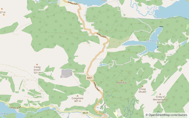
Duke's Pass oder Dukes Pass ist ein Pass an der Straße A821 zwischen Aberfoyle und Brig o' Turk in der Trossachs-Schlucht in den schottischen Highlands. Er steigt bis auf eine Höhe von 240 Metern über dem Meeresspiegel an.

Der Name taucht nur auf modernen Ordnance Survey-Karten auf, ist aber in der Region gebräuchlich. Die Straße wurde 1885 vom Duke of Montrose gebaut, daher der Name.

Koordinaten: 56°12'10"N, 4°23'25"W
Adresse

Loch-Lomond-and-the-Trossachs-Nationalpark Großbritannien

KontaktHinzufügen
Soziale Medien
Hinzufügen
Tagesausflüge

Duke's Pass – beliebt in der gegend (entfernung vom objekt)

In der Nähe befinden sich unter anderem Attraktionen wie: Inchmahome Priory, Ben A'an, Ben Ledi, Talla Castle.

  • inchmahome priory4 miSE
  • ben aan callander2.9 miN
  • ben ledi loch lomond and the trossachs nationalpark4.7 miNE
  • talla castle loch lomond and the trossachs nationalpark location map
    3.9 miSE
  • inchtalla loch lomond and the trossachs nationalpark3.9 miSE
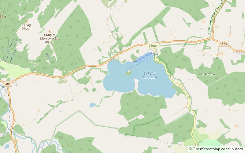
  • lake of menteith loch lomond and the trossachs nationalpark4.3 miSE
  • loch ard aberfoyle3.4 miSW
  • craigmore hill loch lomond and the trossachs nationalpark1.1 miSW
  • queen elizabeth forest park loch lomond and the trossachs nationalpark location map
    3.2 miSW
  • ben venue loch lomond and the trossachs nationalpark2.5 miW
  • loch drunkie loch lomond and the trossachs nationalpark1.6 miE

Wohin als nächstes? Gehen Sie auf die Seite der Region schottland Schottland oder sehen Sie sich alle Orte und Sehenswürdigkeiten in Großbritannien an.