Ashford Community Woodland, Ashford
Karte
Fakten und Informationen
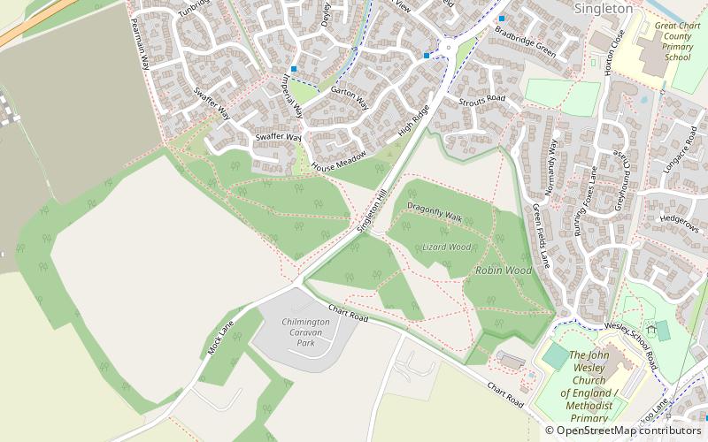
Ashford Community Woodland ist ein 13,8 Hektar großes lokales Naturschutzgebiet am westlichen Stadtrand von Ashford in Kent. Es befindet sich im Besitz des Ashford Borough Council und wird von diesem verwaltet.
Der größte Teil dieses Laubwaldes wurde 1985 gepflanzt, es gibt aber auch Magerrasen und Gebüsch. Zu den Vögeln gehören die vom Aussterben bedrohte Feldlerche und die Goldammer, und es gibt Schmetterlinge wie den Marmorierten Weißling und den Kleinen Skipper.
Die Zufahrt erfolgt unter anderem über die Bucksford Lane.
Höhe: 213 ft ü. d. M.Koordinaten: 51°8'10"N, 0°50'2"E
Adresse
Ashford
KontaktHinzufügen
Soziale Medien
Hinzufügen
Zugang mit öffentlichen Verkehrsmitteln
Haltestellen der öffentlichen Verkehrsmittel in der Nähe des Standorts
- Busse
 Busse
Busse
- Bestimmen Sie die RouteQueens Head 41 Min. Fußweg
Tagesausflüge
Ashford Community Woodland – beliebt in der gegend (entfernung vom objekt)
In der Nähe befinden sich unter anderem Attraktionen wie: Ashford Golf Club, County Square Shopping Centre, Ashford Designer Outlet, Godinton House.


Häufig gestellte Fragen (FAQ)
Wie kommt man mit öffentlichen Verkehrsmitteln dorthin?
Bahnhöfe und Haltestellen in der Umgebung von Ashford Community Woodland:
Busse
Busse
- Queens Head • Linien: 2A (41 Min. Fußweg)