Cropredy Methodist Church, Cropredy

Galerie (1)
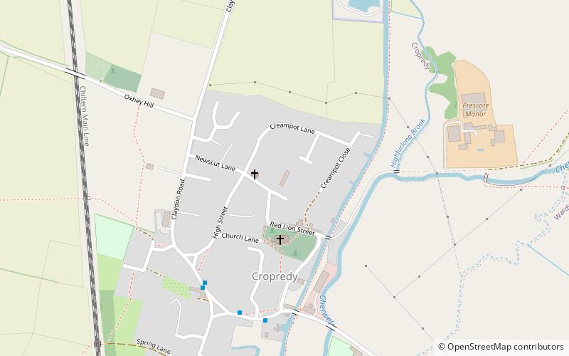
Karte
Karte
Fakten und Informationen
Cropredy Methodist Church ist eine methodistische Kirche im Dorf Cropredy, Oxfordshire.
Koordinaten: 52°7'3"N, 1°18'59"W
Adresse
Cropredy
KontaktHinzufügen
Soziale Medien
Hinzufügen
Tagesausflüge


