Iztapalapa, Mexiko-Stadt

Galerie (1)
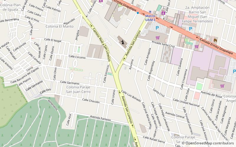
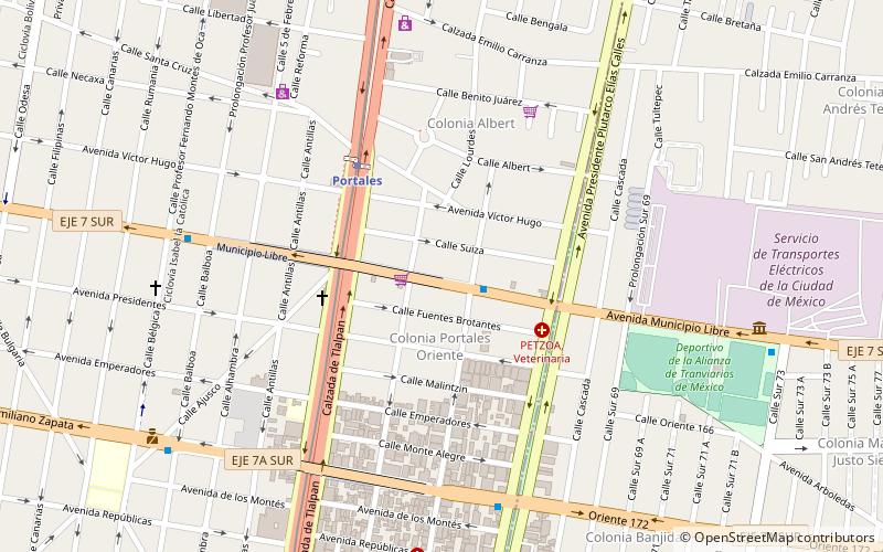
Karte
Karte
Fakten und Informationen
Iztapalapa ist einer von 16 Bezirken von Mexiko-Stadt und befindet sich im zentralen Osten der mexikanischen Hauptstadt. Der Bezirk grenzt im Norden an die Delegación Iztacalco, im Westen an Benito Juárez, Coyoacán und Xochimilco, im Süden an Tláhuac und im Osten an den Bundesstaat México. ()
Zugang mit öffentlichen Verkehrsmitteln
Haltestellen der öffentlichen Verkehrsmittel in der Nähe des Standorts
- Metro
- Busse
- Bahn
 Metro
Metro
- Bestimmen Sie die RouteUam-I 9 Min. Fußweg
- Bestimmen Sie die RouteCerro de la Estrella 22 Min. Fußweg
- Bestimmen Sie die RouteConstitución de 1917 23 Min. Fußweg
- Bestimmen Sie die RouteIztapalapa 34 Min. Fußweg
- Bestimmen Sie die RouteCETRAM Constitución de 1917 22 Min. Fußweg
- Bestimmen Sie die RouteParadero Metro Iztapalapa 34 Min. Fußweg
- Bestimmen Sie die RouteMetro Iztapalapa 33 Min. Fußweg
Karten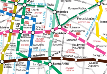 Metro
Metro
MetroTagesausflüge


Häufig gestellte Fragen (FAQ)
Wie kommt man mit öffentlichen Verkehrsmitteln dorthin?
Bahnhöfe und Haltestellen in der Umgebung von Iztapalapa:
Metro
Busse
Bahn
Metro
- Uam-I • Linien: 8 (9 Min. Fußweg)
- Cerro de la Estrella • Linien: 8 (22 Min. Fußweg)
Busse
- CETRAM Constitución de 1917 (22 Min. Fußweg)
- Paradero Metro Iztapalapa (34 Min. Fußweg)
Bahn
- Metro Iztapalapa (33 Min. Fußweg)