Chimalhuacán, Mexiko-Stadt
Karte
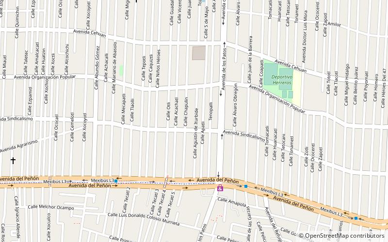
Karte

Fakten und Informationen
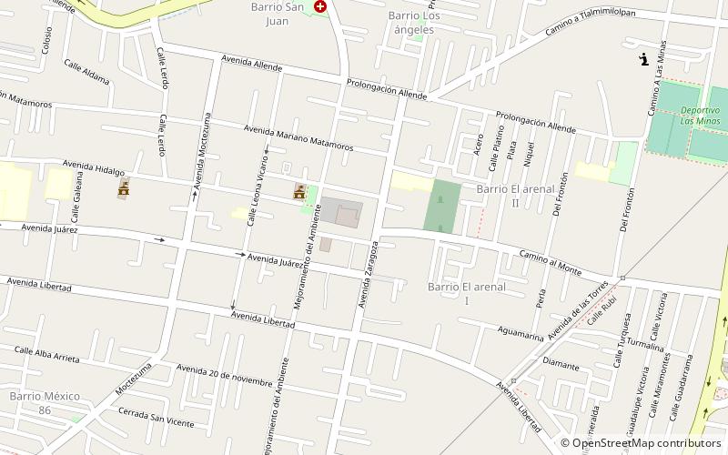
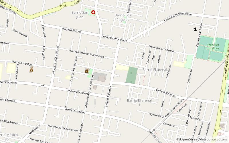
Chimalhuacán ist eine Stadt im Bundesstaat México in Mexiko. Sie liegt außerhalb der Nordostgrenze des Bundesbezirks und ist ein Teil der Zona Metropolitana del Valle de México. Die Stadt ist mit ihren mehr als 600.000 Einwohnern der Hauptort des Municipio Chimalhuacán. ()
Tagesausflüge
Chimalhuacán – beliebt in der gegend (entfernung vom objekt)
In der Nähe befinden sich unter anderem Attraktionen wie: Immaculate Conception Cathedral, Nezahualcóyotl, Municipio Chicoloapan, Huejotla.
Häufig gestellte Fragen (FAQ)
Wie kommt man mit öffentlichen Verkehrsmitteln dorthin?
Bahnhöfe und Haltestellen in der Umgebung von Chimalhuacán:
Busse
Busse
- Los Patos • Linien: Mexibús L3 Chimalhuacán-Pantitlá, Mexibús L3 Pantitlán-Chimalhuacán (7 Min. Fußweg)
- San Pablo • Linien: Mexibús L3 Chimalhuacán-Pantitlá, Mexibús L3 Pantitlán-Chimalhuacán (8 Min. Fußweg)

 Metro
Metro

